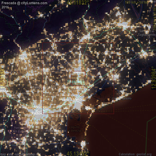
Frescada night lights from space
Night Light of Frescada (Veneto) from space (Italy) Src. Average luminocity for 10x10km area is 68.7939% and for 50x50km: 46.7979%.
Analysis of Frescada night lights 2016
Square area 10x10 km:
 12.88%
90-99
14.85%80-89
8.64%70-79
8.64%60-69
13.48%50-59
16.67%40-49
13.79%30-39
11.06%20-29
0%10-19
0%0-9
0%Square area 50x50 km:
6.66%90-99
8.71%80-89
4.46%70-79
5.46%60-69
8.16%50-59
10.15%40-49
8.83%30-39
8.12%20-29
15.77%10-19
15.31%0-9
8.36%Clear (daylight) street map image can be seen on geolist.org.
Map coordinates:
46° 7' 6" North, 11° 32' 0.9" East
45° 37' 43.6" North, 12° 14' 12.2" East
45° 8' 5.7" North, 12° 56' 23.4" East
Some cities around Frescada sort by population:
• Treviso
4.2 km =2.6 mi,  5°
5°
• Paese
7.6 km =4.7 mi,  311°
311°
• Casale sul Sile
7.9 km =4.9 mi,  117°
117°
• Quinto di Treviso
5.8 km =3.6 mi,  286°
286°
• Preganziol
3 km =1.9 mi,  179°
179°
• Silea
5.5 km =3.4 mi,  58°
58°
• Zero Branco
6.5 km =4 mi,  240°
240°
• Dosson
1.6 km =1 mi, 59°
8948773 (p: 5,800)
Sources (retrieved 2019-11-25):
» Earth at Night: Flat Maps 2012, 2016