Fidenza night lights from space
Night Light of Fidenza (Emilia-Romagna) from space (Italy) Src. Average luminocity for 10x10km area is 32.0571% and for 50x50km: 20.8301%.
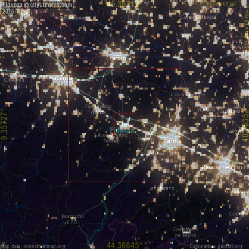
Analysis of Fidenza night lights 2016
Square area 10x10 km:
 5.56%
5.56%90-99
9.37%80-89
1.75%70-79
2.22%60-69
2.22%50-59
1.59%40-49
1.75%30-39
2.54%20-29
5.71%10-19
60.95%0-9
6.35%Square area 50x50 km:
3.09%90-99
4.12%80-89
1.77%70-79
1.97%60-69
2.09%50-59
2.13%40-49
2.72%30-39
3.71%20-29
5.91%10-19
19.29%0-9
53.2%Clear (daylight) street map image can be seen on geolist.org.
Map coordinates:
45° 21' 47.2" North, 9° 21' 26.2" East
44° 52' 1" North, 10° 3' 37.4" East
44° 21' 59.2" North, 10° 45' 48.7" East
Some cities around Fidenza sort by population:
• Parma
22.3 km =13.9 mi,  109°
109°
• Cremona
29.8 km =18.5 mi,  354°
354°
• Salsomaggiore Terme
8.1 km =5 mi,  225°
225°
• Fiorenzuola d'Arda
13.2 km =8.2 mi,  298°
298°
• Noceto
11.2 km =7 mi,  124°
124°
• Collecchio
17.7 km =11 mi,  136°
136°
• Colorno
25.5 km =15.8 mi,  75°
75°
• Pontenure
25.7 km =16 mi, 304°
3177029 (p: 21,952)
Sources (retrieved 2019-11-25):
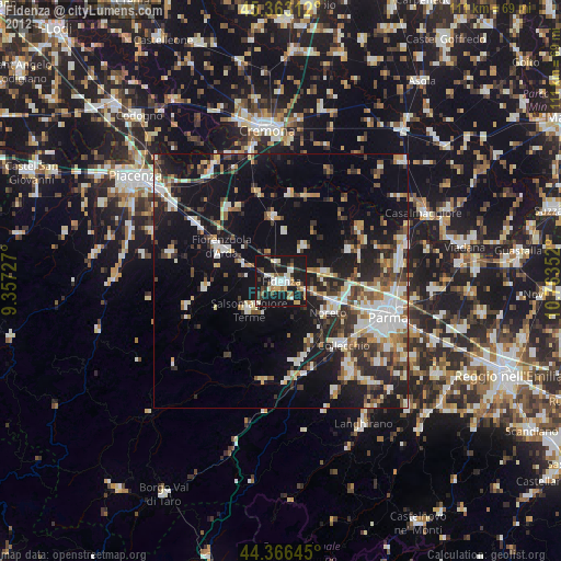
» Earth at Night: Flat Maps 2012, 2016