Fasano night lights from space
Night Light of Fasano (Apulia) from space (Italy) Src. Average luminocity for 10x10km area is 43.9133% and for 50x50km: 15.5411%.
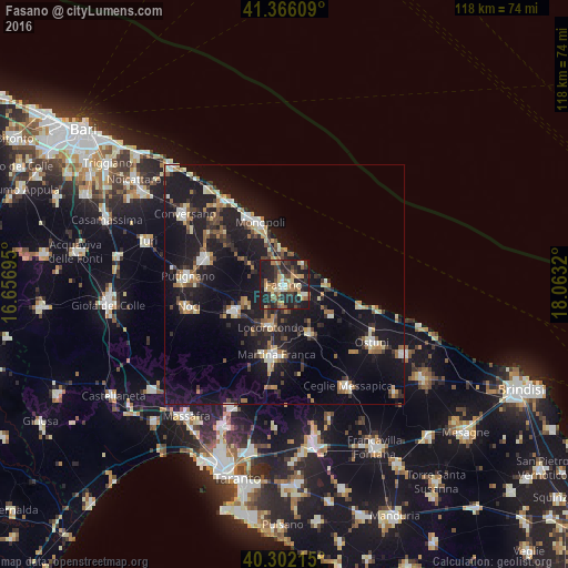
Analysis of Fasano night lights 2016
Square area 10x10 km:
 2.55%
2.55%90-99
4.93%80-89
8.16%70-79
7.65%60-69
8.16%50-59
6.46%40-49
3.57%30-39
11.22%20-29
28.91%10-19
18.37%0-9
0%Square area 50x50 km:
1.32%90-99
1.89%80-89
1.86%70-79
1.53%60-69
2.18%50-59
1.94%40-49
1.75%30-39
2.66%20-29
5.06%10-19
20.21%0-9
59.59%Clear (daylight) street map image can be seen on geolist.org.
Map coordinates:
41° 21' 57.9" North, 16° 39' 25" East
40° 50' 10.5" North, 17° 21' 36.3" East
40° 18' 7.7" North, 18° 3' 47.5" East
Some cities around Fasano sort by population:
• Monopoli
13.6 km =8.5 mi,  337°
337°
• Martina Franca
14.9 km =9.3 mi,  187°
187°
• Putignano
20.1 km =12.5 mi,  274°
274°
• Noci
20.2 km =12.6 mi,  256°
256°
• Castellana
17.3 km =10.7 mi,  288°
288°
• Alberobello
11.9 km =7.4 mi,  241°
241°
• Locorotondo
9.4 km =5.8 mi,  198°
198°
• Cisternino
11.7 km =7.3 mi,  151°
151°
3177171 (p: 22,593)
Sources (retrieved 2019-11-25):
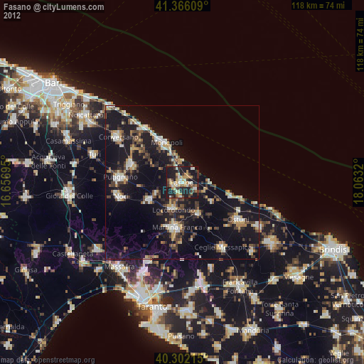
» Earth at Night: Flat Maps 2012, 2016