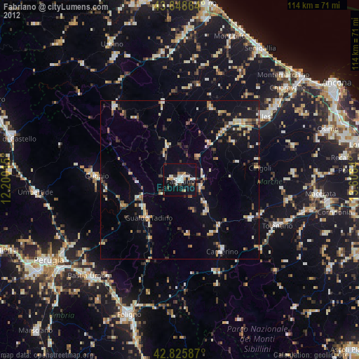
Fabriano night lights from space
Night Light of Fabriano (The Marches) from space (Italy) Src. Average luminocity for 10x10km area is 25.2016% and for 50x50km: 7.4604%.
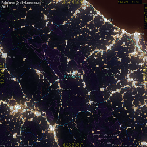
Analysis of Fabriano night lights 2016
Square area 10x10 km:
 3.97%
3.97%90-99
7.14%80-89
1.75%70-79
0.95%60-69
2.38%50-59
0.95%40-49
2.54%30-39
2.38%20-29
4.44%10-19
38.25%0-9
35.24%Square area 50x50 km:
0.52%90-99
1.41%80-89
0.69%70-79
0.89%60-69
0.78%50-59
0.52%40-49
1.02%30-39
1.15%20-29
1.49%10-19
5.63%0-9
85.89%Clear (daylight) street map image can be seen on geolist.org.
Map coordinates:
43° 50' 55.1" North, 12° 12' 0.5" East
43° 20' 21.9" North, 12° 54' 11.8" East
42° 49' 33.1" North, 13° 36' 23" East
Some cities around Fabriano sort by population:
• Jesi
34.1 km =21.2 mi,  53°
53°
• Tolentino
34.1 km =21.2 mi,  115°
115°
• Gubbio
26.7 km =16.6 mi,  272°
272°
• Gualdo Tadino
15.9 km =9.9 mi,  219°
219°
• Matelica
12.4 km =7.7 mi,  137°
137°
• San Severino Marche
25.5 km =15.8 mi, 118°
• Filottrano
37.8 km =23.5 mi,  73°
73°
• Cagli
30.8 km =19.1 mi,  318°
318°
3177315 (p: 23,230)
Sources (retrieved 2019-11-25):
» Earth at Night: Flat Maps 2012, 2016