Cassino night lights from space
Night Light of Cassino (Latium) from space (Italy) Src. Average luminocity for 10x10km area is 48.3537% and for 50x50km: 16.954%.
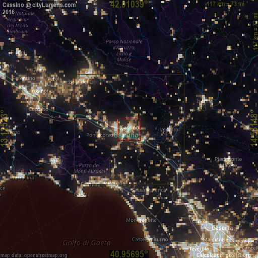
Analysis of Cassino night lights 2016
Square area 10x10 km:
 2.72%
2.72%90-99
8.33%80-89
4.25%70-79
8.16%60-69
7.48%50-59
10.37%40-49
10.88%30-39
14.29%20-29
28.57%10-19
4.93%0-9
0%Square area 50x50 km:
0.55%90-99
2.07%80-89
1.73%70-79
1.91%60-69
2.37%50-59
3.61%40-49
2.89%30-39
3.31%20-29
5.93%10-19
16.02%0-9
59.61%Clear (daylight) street map image can be seen on geolist.org.
Map coordinates:
42° 0' 37.4" North, 13° 7' 30.8" East
41° 29' 8.9" North, 13° 49' 42.1" East
40° 57' 25" North, 14° 31' 53.3" East
Some cities around Cassino sort by population:
• Formia
31.4 km =19.5 mi,  215°
215°
• Sora
31.4 km =19.5 mi,  325°
325°
• Minturno
25.7 km =16 mi,  195°
195°
• Isola del Liri
29.5 km =18.3 mi,  319°
319°
• Venafro
18.3 km =11.4 mi,  91°
91°
• Pontecorvo
13.8 km =8.6 mi,  257°
257°
• Ceprano
26.9 km =16.7 mi,  284°
284°
• Sessa Aurunca
28.6 km =17.8 mi,  162°
162°
3179781 (p: 21,074)
Sources (retrieved 2019-11-25):
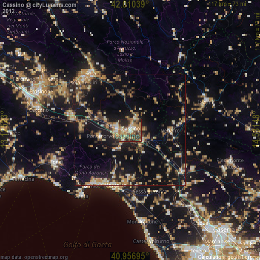
» Earth at Night: Flat Maps 2012, 2016