Qarchak night lights from space
Night Light of Qarchak (Tehrān) from space (Iran) Src. Average luminocity for 10x10km area is 64.8535% and for 50x50km: 41.3497%.
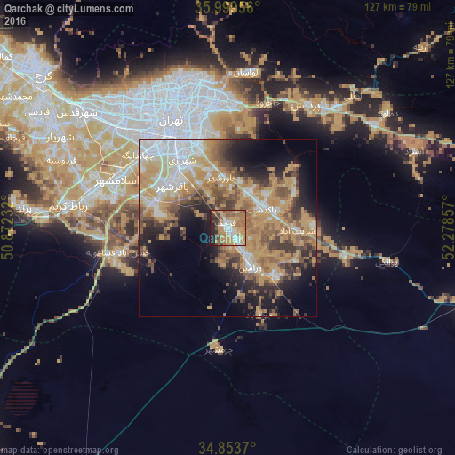
Analysis of Qarchak night lights 2016
Square area 10x10 km:
 10.07%
90-99
8.42%80-89
3.85%70-79
27.84%60-69
15.38%50-59
10.62%40-49
6.23%30-39
3.11%20-29
9.34%10-19
5.13%0-9
0%Square area 50x50 km:
7.04%90-99
5.3%80-89
3.59%70-79
14.59%60-69
6.83%50-59
5.96%40-49
5.76%30-39
4.43%20-29
6.42%10-19
9.71%0-9
30.37%Clear (daylight) street map image can be seen on geolist.org.
Map coordinates:
35° 59' 58.4" North, 50° 52' 20.4" East
35° 25' 43.2" North, 51° 34' 31.6" East
34° 51' 13.3" North, 52° 16' 42.9" East
Some cities around Qarchak sort by population:
• Tehran
32.7 km =20.3 mi,  334°
334°
• Varāmīn
13.2 km =8.2 mi,  151°
151°
• Robāţ Karīm
45 km =28 mi,  277°
277°
• Shahrīār
53.4 km =33.2 mi,  298°
298°
• Pīshvā
19.2 km =11.9 mi,  134°
134°
• Eqbālīyeh
14.5 km =9 mi,  194°
194°
• Sharīfābād
19 km =11.8 mi,  90°
90°
• Shahrak-e Emām Ḩasan
21.8 km =13.5 mi,  287°
287°
32767 (p: 251,834)
Sources (retrieved 2019-11-25):
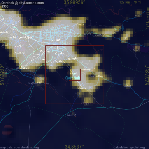
» NASA, Earths city lights 1995
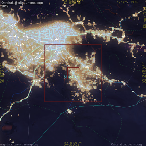
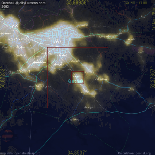
» NASA city lights 2003
» Earth at Night: Flat Maps 2012, 2016