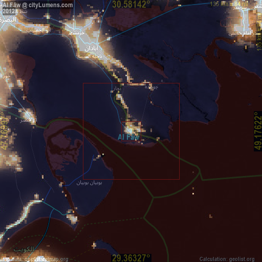
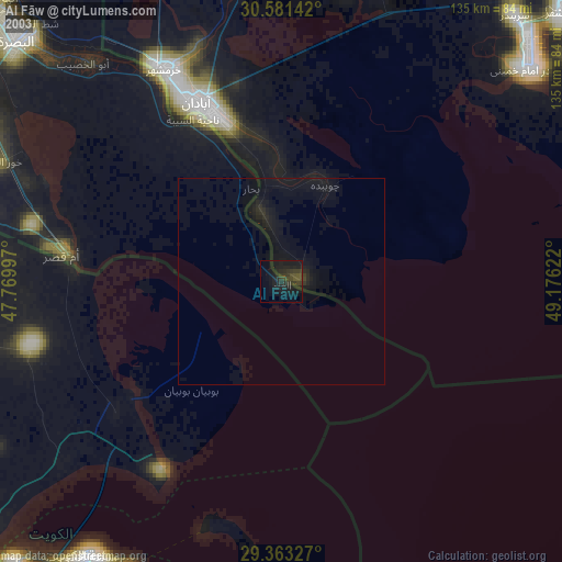
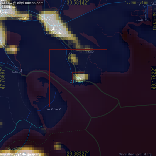
Al Fāw night lights from space
Night Light of Al Fāw (Basra) from space (Iraq) Src. Average luminocity for 10x10km area is 52.6894% and for 50x50km: 5.5856%.

Analysis of Al Fāw night lights 2016
Square area 10x10 km:
 7.95%
7.95%90-99
11.55%80-89
3.6%70-79
7.58%60-69
13.07%50-59
5.68%40-49
9.66%30-39
7.58%20-29
17.23%10-19
15.72%0-9
0.38%Square area 50x50 km:
0.52%90-99
0.63%80-89
0.37%70-79
0.65%60-69
1.31%50-59
0.78%40-49
0.76%30-39
0.93%20-29
1.62%10-19
4.65%0-9
87.77%Clear (daylight) street map image can be seen on geolist.org.
Map coordinates:
30° 34' 53.1" North, 47° 46' 11.9" East
29° 58' 27.2" North, 48° 28' 23.1" East
29° 21' 47.8" North, 49° 10' 34.4" East
Some cities around Al Fāw sort by population:
• Abadan, IR
43.7 km =27.2 mi,  338°
338°
• Khorramshahr, IR
58.8 km =36.5 mi,  331°
331°
• As Sālimīyah, KW
80.9 km =50.3 mi,  208°
208°
• Umm Qaşr
53.7 km =33.4 mi,  277°
277°
• Kuwait City, KW
82.5 km =51.3 mi,  215°
215°
• Shādegān, IR
77.3 km =48 mi,  13°
13°
• Ad Dasmah, KW
81.6 km =50.7 mi, 213°
• Az Zawr, KW
62.1 km =38.6 mi,  197°
197°
99446 (p: 104,569)
Sources (retrieved 2019-11-25):
» NASA, Earths city lights 1995
» NASA city lights 2003
» Earth at Night: Flat Maps 2012, 2016