Sāveh night lights from space
Night Light of Sāveh (Markazi) from space (Iran) Src. Average luminocity for 10x10km area is 59.8951% and for 50x50km: 7.8389%.
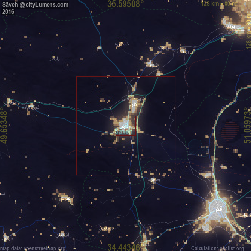
Analysis of Sāveh night lights 2016
Square area 10x10 km:
 13.29%
90-99
12.76%80-89
6.82%70-79
13.64%60-69
2.27%50-59
4.9%40-49
7.87%30-39
12.24%20-29
23.08%10-19
3.15%0-9
0%Square area 50x50 km:
0.72%90-99
0.74%80-89
0.74%70-79
2.21%60-69
0.69%50-59
1.05%40-49
1.1%30-39
1.63%20-29
2.83%10-19
4.79%0-9
83.49%Clear (daylight) street map image can be seen on geolist.org.
Map coordinates:
35° 35' 42.3" North, 49° 39' 12.5" East
35° 1' 16.7" North, 50° 21' 23.8" East
34° 26' 36.5" North, 51° 3' 35" East
Some cities around Sāveh sort by population:
• Qom
63.6 km =39.5 mi,  131°
131°
• Naz̧arābād
106.1 km =65.9 mi,  12°
12°
• Shahre Jadide Andisheh
94.8 km =58.9 mi,  39°
39°
• Robāţ Karīm
83.7 km =52 mi,  52°
52°
• Shahrīār
95.2 km =59.2 mi, 41°
• Malārd
91.1 km =56.6 mi, 38°
• Tafresh
47.9 km =29.8 mi,  220°
220°
• Shahrak-e Emām Ḩasan
103.7 km =64.4 mi,  59°
59°
116667 (p: 175,533)
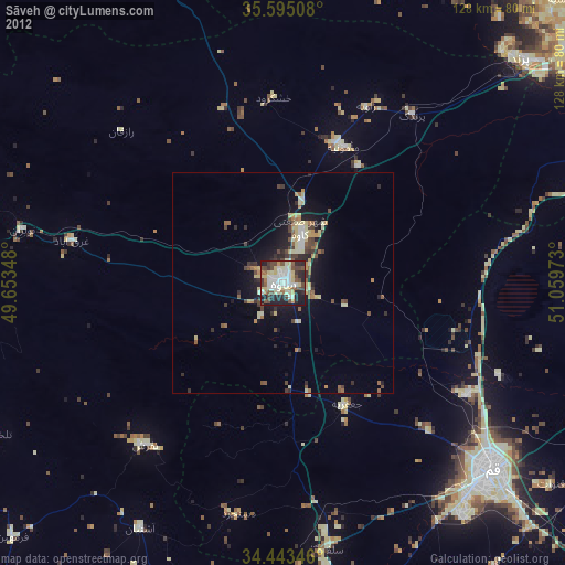
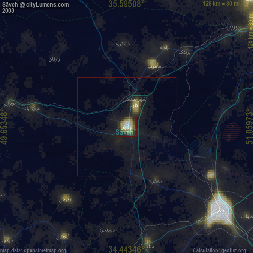
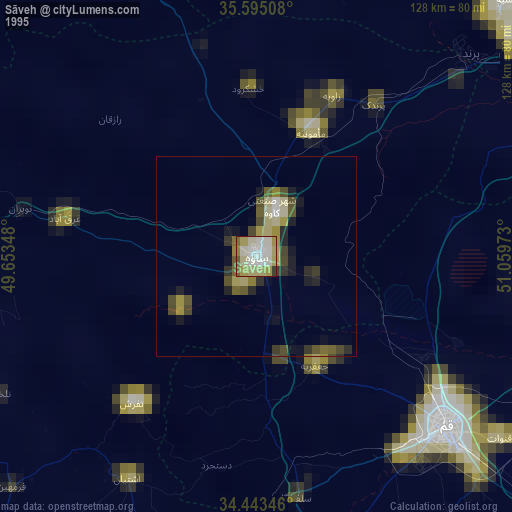
Sources (retrieved 2019-11-25):
» NASA, Earths city lights 1995
» NASA city lights 2003
» Earth at Night: Flat Maps 2012, 2016