Qom night lights from space
Night Light of Qom from space (Iran) Src. Average luminocity for 10x10km area is 95.1381% and for 50x50km: 16.8382%.
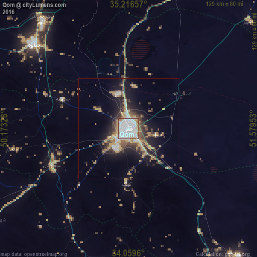
Analysis of Qom night lights 2016
Square area 10x10 km:
 60.14%
90-99
23.25%80-89
3.67%70-79
8.57%60-69
2.97%50-59
1.05%40-49
0.35%30-39
0%20-29
0%10-19
0%0-9
0%Square area 50x50 km:
3.33%90-99
1.96%80-89
1.37%70-79
3.84%60-69
1.29%50-59
1.92%40-49
2.9%30-39
3.19%20-29
4.17%10-19
8.78%0-9
67.24%Clear (daylight) street map image can be seen on geolist.org.
Map coordinates:
35° 12' 59.7" North, 50° 10' 23.8" East
34° 38' 24.4" North, 50° 52' 35" East
34° 3' 34.6" North, 51° 34' 46.3" East
Some cities around Qom sort by population:
• Varāmīn
103.4 km =64.2 mi,  42°
42°
• Sāveh
63.6 km =39.5 mi,  311°
311°
• Robāţ Karīm
95.8 km =59.5 mi,  11°
11°
• Pīshvā
107.3 km =66.7 mi,  46°
46°
• Eqbālīyeh
95 km =59 mi, 39°
• Delījān
74.4 km =46.2 mi,  193°
193°
• Tafresh
78.9 km =49 mi,  274°
274°
• Shahrak-e Emām Ḩasan
103.5 km =64.3 mi,  24°
24°
119208 (p: 900,000)
Sources (retrieved 2019-11-25):
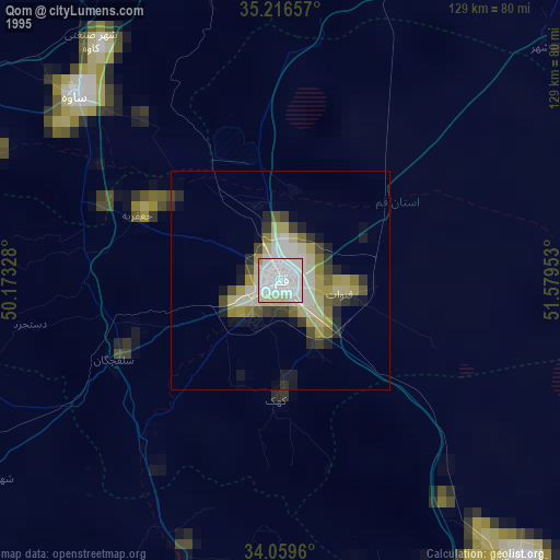
» NASA, Earths city lights 1995
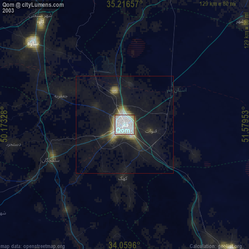
» NASA city lights 2003
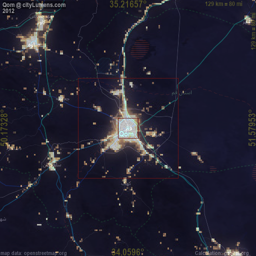
» Earth at Night: Flat Maps 2012, 2016