Varāmīn night lights from space
Night Light of Varāmīn (Tehrān) from space (Iran) Src. Average luminocity for 10x10km area is 61.2894% and for 50x50km: 27.9801%.
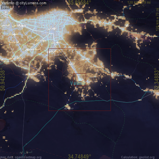
Analysis of Varāmīn night lights 2016
Square area 10x10 km:
 7.88%
7.88%90-99
8.97%80-89
2.93%70-79
26.74%60-69
12.09%50-59
10.26%40-49
6.23%30-39
7.33%20-29
11.9%10-19
5.68%0-9
0%Square area 50x50 km:
2.36%90-99
2.53%80-89
1.44%70-79
11.85%60-69
6.07%50-59
5.2%40-49
4.66%30-39
3.96%20-29
4.89%10-19
7.97%0-9
49.06%Clear (daylight) street map image can be seen on geolist.org.
Map coordinates:
35° 53' 45" North, 50° 56' 33.3" East
35° 19' 27.1" North, 51° 38' 44.5" East
34° 44' 54.6" North, 52° 20' 55.8" East
Some cities around Varāmīn sort by population:
• Tehran
45.9 km =28.5 mi,  333°
333°
• Qarchak
13.2 km =8.2 mi, 331°
• Robāţ Karīm
54 km =33.6 mi,  289°
289°
• Pīshvā
7.6 km =4.7 mi,  103°
103°
• Eqbālīyeh
10.3 km =6.4 mi,  256°
256°
• Damāvand
58.2 km =36.2 mi,  41°
41°
• Sharīfābād
17.1 km =10.6 mi,  47°
47°
• Shahrak-e Emām Ḩasan
32.8 km =20.4 mi,  303°
303°
112214 (p: 179,603)
Sources (retrieved 2019-11-25):
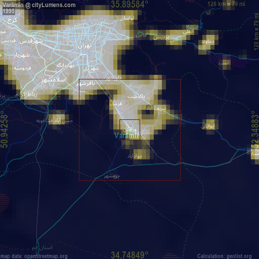
» NASA, Earths city lights 1995
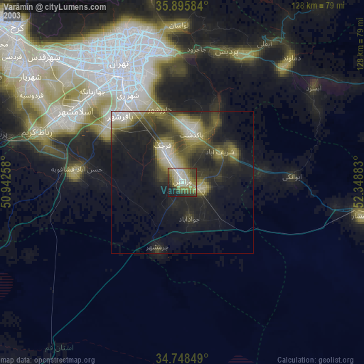
» NASA city lights 2003
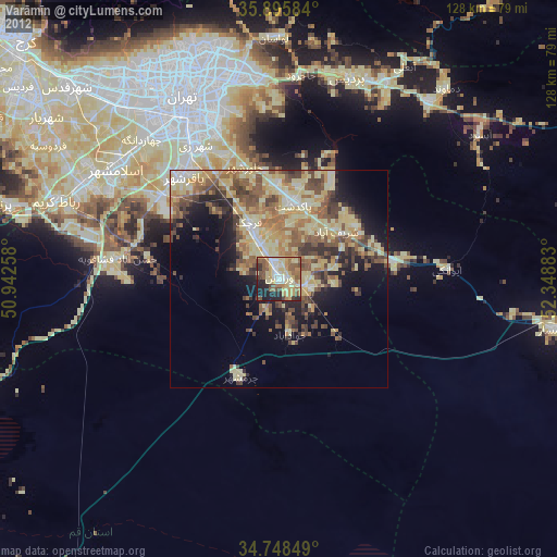
» Earth at Night: Flat Maps 2012, 2016