Īstgāh-e Rāh Āhan-e Garmsār night lights from space
Night Light of Īstgāh-e Rāh Āhan-e Garmsār (Semnan) from space (Iran) Src. Average luminocity for 10x10km area is 34.1049% and for 50x50km: 4.1734%.
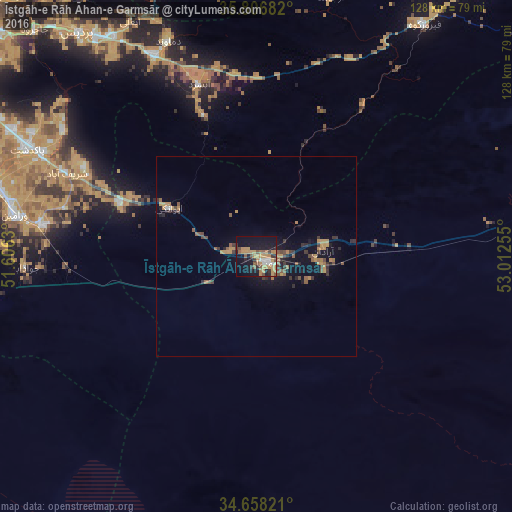

Analysis of Īstgāh-e Rāh Āhan-e Garmsār night lights 2016
Square area 10x10 km:
 3.32%
3.32%90-99
2.45%80-89
0.17%70-79
14.34%60-69
6.82%50-59
5.24%40-49
3.85%30-39
3.5%20-29
5.77%10-19
32.34%0-9
22.2%Square area 50x50 km:
0.16%90-99
0.13%80-89
0.01%70-79
1.51%60-69
0.64%50-59
0.83%40-49
0.68%30-39
0.89%20-29
0.7%10-19
3.4%0-9
91.04%Clear (daylight) street map image can be seen on geolist.org.
Map coordinates:
35° 48' 24.6" North, 51° 36' 22.7" East
35° 14' 4.4" North, 52° 18' 33.9" East
34° 39' 29.6" North, 53° 0' 45.2" East
Some cities around Īstgāh-e Rāh Āhan-e Garmsār sort by population:
• Tehran
95.3 km =59.2 mi,  302°
302°
• Qarchak
70 km =43.5 mi,  287°
287°
• Varāmīn
61.1 km =38 mi,  279°
279°
• Pīshvā
53.5 km =33.2 mi, 278°
• Eqbālīyeh
70.6 km =43.9 mi, 276°
• Damāvand
58 km =36 mi,  338°
338°
• Sharīfābād
52.2 km =32.4 mi, 294°
• Shahrak-e Emām Ḩasan
91.8 km =57 mi, 287°
32723 (p: 49,491)
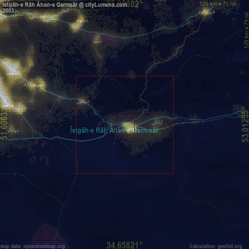
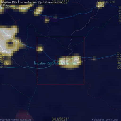
Sources (retrieved 2019-11-25):
» NASA, Earths city lights 1995
» NASA city lights 2003
» Earth at Night: Flat Maps 2012, 2016