Delījān night lights from space
Night Light of Delījān (Markazi) from space (Iran) Src. Average luminocity for 10x10km area is 27.7168% and for 50x50km: 4.8819%.
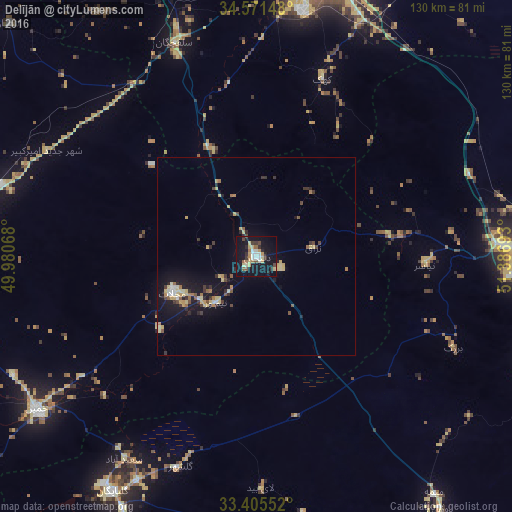
Analysis of Delījān night lights 2016
Square area 10x10 km:
 2.97%
2.97%90-99
3.67%80-89
5.24%70-79
4.2%60-69
2.45%50-59
2.62%40-49
3.15%30-39
3.15%20-29
5.42%10-19
39.86%0-9
27.27%Square area 50x50 km:
0.32%90-99
0.39%80-89
1.13%70-79
0.7%60-69
0.5%50-59
0.53%40-49
0.51%30-39
0.78%20-29
0.86%10-19
4.92%0-9
89.37%Clear (daylight) street map image can be seen on geolist.org.
Map coordinates:
34° 34' 17.3" North, 49° 58' 50.4" East
33° 59' 25.8" North, 50° 41' 1.7" East
33° 24' 19.9" North, 51° 23' 12.9" East
Some cities around Delījān sort by population:
• Qom
74.4 km =46.2 mi,  13°
13°
• Arāk
91.6 km =56.9 mi,  277°
277°
• Sāveh
118.5 km =73.6 mi,  345°
345°
• Alīgūdarz
112.6 km =70 mi,  234°
234°
• Khomeyn
68.1 km =42.3 mi, 234°
• Golpāyegān
70 km =43.5 mi,  211°
211°
• Khvānsār
92.2 km =57.3 mi,  201°
201°
• Tafresh
99.3 km =61.7 mi,  321°
321°
136399 (p: 33,508)
Sources (retrieved 2019-11-25):
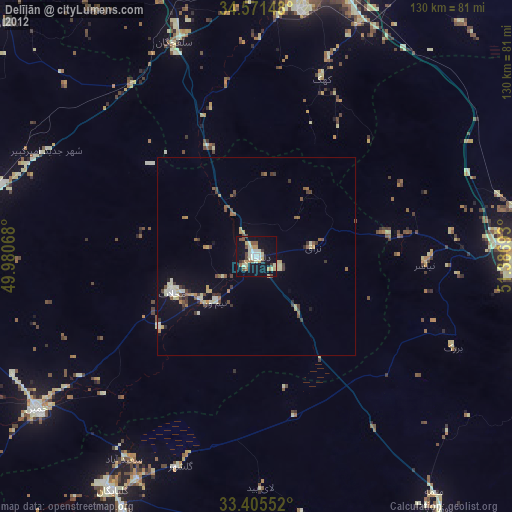
» Earth at Night: Flat Maps 2012, 2016