Al Ḩillah night lights from space
Night Light of Al Ḩillah (Bābil) from space (Iraq) Src. Average luminocity for 10x10km area is 86.5458% and for 50x50km: 40.2993%.
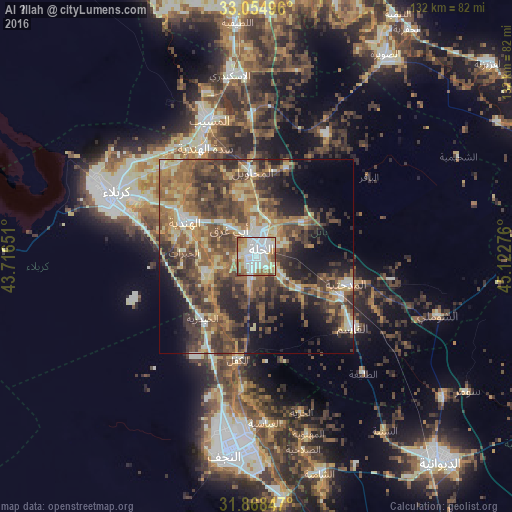
Analysis of Al Ḩillah night lights 2016
Square area 10x10 km:
 30.22%
90-99
31.5%80-89
8.61%70-79
6.59%60-69
13.37%50-59
7.33%40-49
2.38%30-39
0%20-29
0%10-19
0%0-9
0%Square area 50x50 km:
2.4%90-99
6.57%80-89
5.03%70-79
5.93%60-69
8.37%50-59
8.78%40-49
10.79%30-39
10.41%20-29
9.12%10-19
10.74%0-9
21.85%Clear (daylight) street map image can be seen on geolist.org.
Map coordinates:
33° 3' 17.9" North, 43° 42' 59.4" East
32° 27' 49.2" North, 44° 25' 10.7" East
31° 52' 6.5" North, 45° 7' 21.9" East
Some cities around Al Ḩillah sort by population:
• Najaf
49.2 km =30.6 mi,  188°
188°
• Karbala
40.7 km =25.3 mi,  294°
294°
• Kufa
45.9 km =28.5 mi,  177°
177°
• Ash Shāmīyah
58.3 km =36.2 mi,  162°
162°
• Al Musayyib
37.1 km =23.1 mi,  340°
340°
• Aş Şuwayrah
61.2 km =38 mi,  32°
32°
• Imam Qasim
30.8 km =19.1 mi,  126°
126°
• Nāḩīyat Saddat al Hindīyah
31 km =19.3 mi,  334°
334°
99347 (p: 289,709)
Sources (retrieved 2019-11-25):
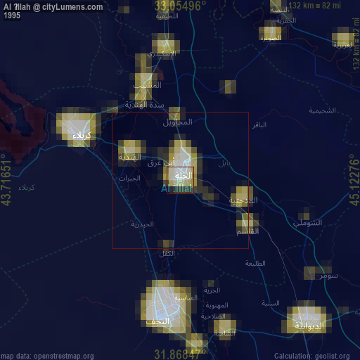
» NASA, Earths city lights 1995
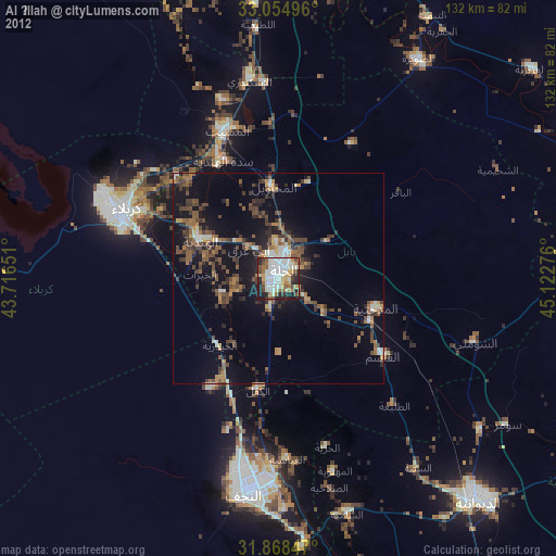
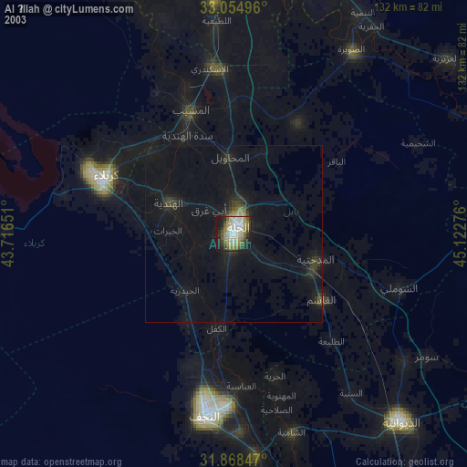
» NASA city lights 2003
» Earth at Night: Flat Maps 2012, 2016