Al Hindīyah night lights from space
Night Light of Al Hindīyah (Karbalāʼ) from space (Iraq) Src. Average luminocity for 10x10km area is 74.8077% and for 50x50km: 47.6045%.
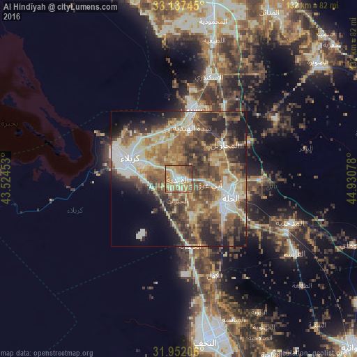
Analysis of Al Hindīyah night lights 2016
Square area 10x10 km:
 5.94%
5.94%90-99
21.33%80-89
15.56%70-79
16.43%60-69
19.58%50-59
12.41%40-49
5.77%30-39
2.97%20-29
0%10-19
0%0-9
0%Square area 50x50 km:
4.18%90-99
11.6%80-89
6.71%70-79
6.37%60-69
9.27%50-59
8.96%40-49
9.91%30-39
8.74%20-29
8.94%10-19
7.88%0-9
17.43%Clear (daylight) street map image can be seen on geolist.org.
Map coordinates:
33° 8' 14.8" North, 43° 31' 28.3" East
32° 32' 48.2" North, 44° 13' 39.5" East
31° 57' 7.4" North, 44° 55' 50.8" East
Some cities around Al Hindīyah sort by population:
• Najaf
59 km =36.7 mi,  169°
169°
• Karbala
20.5 km =12.7 mi,  292°
292°
• Kufa
58.6 km =36.4 mi,  160°
160°
• Ash Shāmīyah
73.8 km =45.9 mi,  151°
151°
• Al Musayyib
26.5 km =16.5 mi,  12°
12°
• Aş Şuwayrah
66.4 km =41.3 mi,  50°
50°
• Imam Qasim
50.9 km =31.6 mi,  122°
122°
• Nāḩīyat Saddat al Hindīyah
19.4 km =12.1 mi, 14°
99344 (p: 57,490)
Sources (retrieved 2019-11-25):
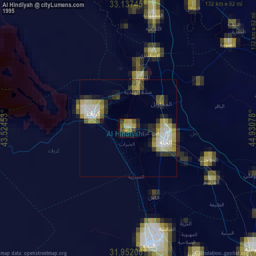
» NASA, Earths city lights 1995
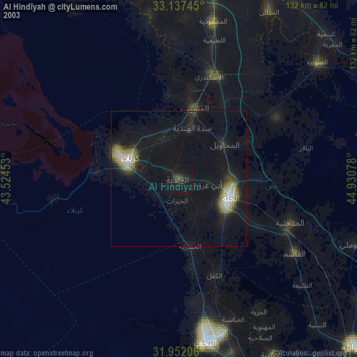
» NASA city lights 2003
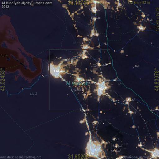
» Earth at Night: Flat Maps 2012, 2016