Yamunānagar night lights from space
Night Light of Yamunānagar (Haryana) from space (India) Src. Average luminocity for 10x10km area is 82.8636% and for 50x50km: 24.4406%.
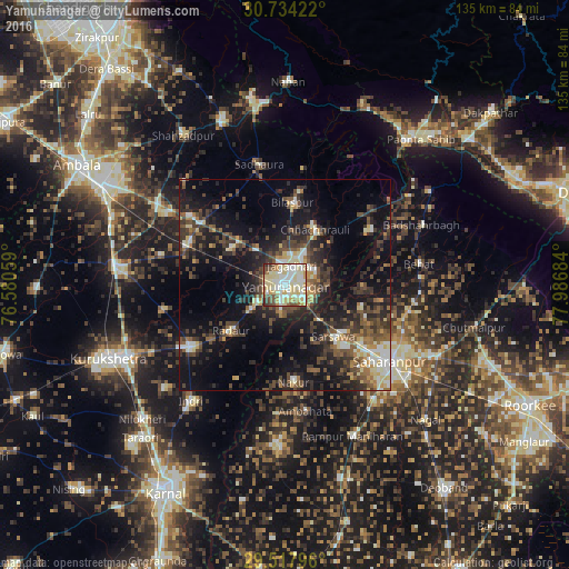
Analysis of Yamunānagar night lights 2016
Square area 10x10 km:
 19.13%
90-99
26.7%80-89
28.6%70-79
5.87%60-69
2.65%50-59
5.68%40-49
7.77%30-39
3.03%20-29
0.57%10-19
0%0-9
0%Square area 50x50 km:
2.19%90-99
3.61%80-89
3.32%70-79
2.02%60-69
2.11%50-59
4.38%40-49
6%30-39
6.15%20-29
8.15%10-19
17.85%0-9
44.23%Clear (daylight) street map image can be seen on geolist.org.
Map coordinates:
30° 44' 3.2" North, 76° 34' 50.1" East
30° 7' 40.7" North, 77° 17' 1.4" East
29° 31' 4.7" North, 77° 59' 12.6" East
Some cities around Yamunānagar sort by population:
• Jagādhri
4.8 km =3 mi,  23°
23°
• Lādwa
27.4 km =17 mi,  236°
236°
• Nakūr
23.2 km =14.4 mi,  175°
175°
• Radaur
16.9 km =10.5 mi,  228°
228°
• Chhachhrauli
14.9 km =9.3 mi,  29°
29°
• Bilāspur
19.7 km =12.2 mi,  5°
5°
• Būriya
8 km =5 mi,  64°
64°
• Mustafābād
15.4 km =9.6 mi,  302°
302°
1252797 (p: 208,931)
Sources (retrieved 2019-11-25):
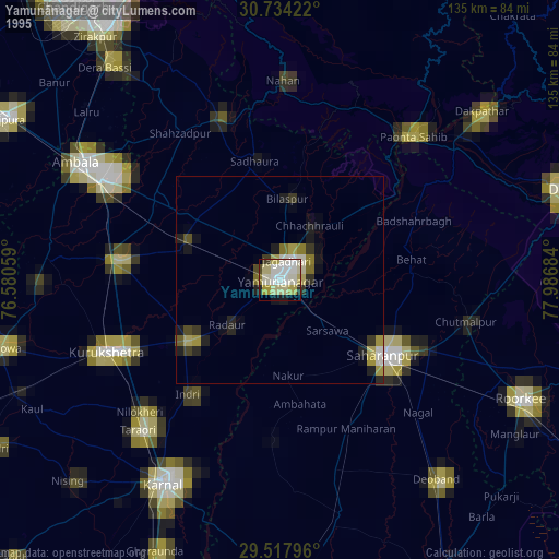
» NASA, Earths city lights 1995
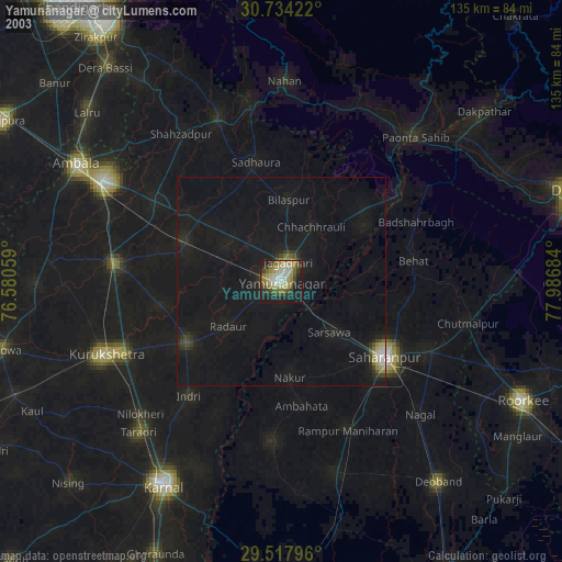
» NASA city lights 2003
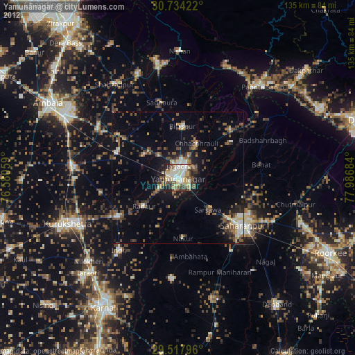
» Earth at Night: Flat Maps 2012, 2016