Vetapālem night lights from space
Night Light of Vetapālem (Andhra Pradesh) from space (India) Src. Average luminocity for 10x10km area is 41.6169% and for 50x50km: 11.9431%.
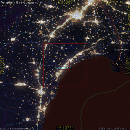
Analysis of Vetapālem night lights 2016
Square area 10x10 km:
 2.81%
2.81%90-99
13.2%80-89
3.9%70-79
0.65%60-69
7.36%50-59
7.58%40-49
5.63%30-39
7.14%20-29
13.2%10-19
34.63%0-9
3.9%Square area 50x50 km:
0.29%90-99
1.95%80-89
0.87%70-79
1.14%60-69
2.03%50-59
2.39%40-49
1.91%30-39
1.98%20-29
3.28%10-19
12.69%0-9
71.46%Clear (daylight) street map image can be seen on geolist.org.
Map coordinates:
16° 27' 37.8" North, 79° 36' 12.6" East
15° 47' 6.1" North, 80° 18' 23.9" East
15° 6' 26.3" North, 81° 0' 35.1" East
Some cities around Vetapālem sort by population:
• Ongole
42 km =26.1 mi,  221°
221°
• Chilakalūrupet
37 km =23 mi,  336°
336°
• Chīrāla
6.5 km =4 mi,  48°
48°
• Bāpatla
21.7 km =13.5 mi, 52°
• Ponnūru
40.8 km =25.4 mi,  40°
40°
• Ponnur
41.1 km =25.5 mi, 39°
• Addanki
35.8 km =22.2 mi,  274°
274°
• Pavuluru
17 km =10.6 mi,  296°
296°
1253220 (p: 38,007)
Sources (retrieved 2019-11-25):
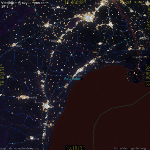
» Earth at Night: Flat Maps 2012, 2016