Addanki night lights from space
Night Light of Addanki (Andhra Pradesh) from space (India) Src. Average luminocity for 10x10km area is 20.4502% and for 50x50km: 10.4271%.
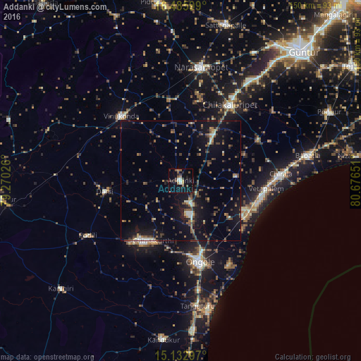
Analysis of Addanki night lights 2016
Square area 10x10 km:
 0.65%
0.65%90-99
4.11%80-89
0.65%70-79
1.52%60-69
3.25%50-59
4.55%40-49
2.38%30-39
4.11%20-29
4.98%10-19
22.73%0-9
51.08%Square area 50x50 km:
0.27%90-99
1.21%80-89
0.72%70-79
0.92%60-69
1.29%50-59
2.16%40-49
2.12%30-39
2.24%20-29
2.83%10-19
10.56%0-9
75.68%Clear (daylight) street map image can be seen on geolist.org.
Map coordinates:
16° 29' 9.6" North, 79° 16' 12.9" East
15° 48' 38.2" North, 79° 58' 24.2" East
15° 7' 58.7" North, 80° 40' 35.4" East
Some cities around Addanki sort by population:
• Ongole
35 km =21.7 mi,  167°
167°
• Narasaraopet
47.9 km =29.8 mi,  9°
9°
• Chilakalūrupet
37.3 km =23.2 mi,  33°
33°
• Chīrāla
40.6 km =25.2 mi,  87°
87°
• Vinukonda
36.8 km =22.9 mi,  317°
317°
• Vetapālem
35.8 km =22.2 mi, 94°
• Darsi
31.8 km =19.8 mi,  261°
261°
• Pavuluru
21 km =13 mi,  77°
77°
1279356 (p: 28,547)
Sources (retrieved 2019-11-25):
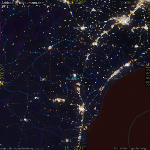
» Earth at Night: Flat Maps 2012, 2016