Ponnūru night lights from space
Night Light of Ponnūru (Andhra Pradesh) from space (India) Src. Average luminocity for 10x10km area is 21.2479% and for 50x50km: 16.662%.
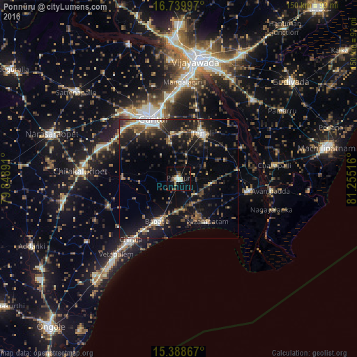
Analysis of Ponnūru night lights 2016
Square area 10x10 km:
 1.24%
1.24%90-99
4.55%80-89
2.07%70-79
2.07%60-69
1.65%50-59
3.1%40-49
1.86%30-39
4.55%20-29
2.89%10-19
23.76%0-9
52.27%Square area 50x50 km:
0.75%90-99
2.48%80-89
1.13%70-79
1.68%60-69
2.19%50-59
2.74%40-49
3.64%30-39
4.06%20-29
5.46%10-19
15.82%0-9
60.06%Clear (daylight) street map image can be seen on geolist.org.
Map coordinates:
16° 44' 23.9" North, 79° 50' 56.1" East
16° 3' 55.7" North, 80° 33' 7.3" East
15° 23' 19.2" North, 81° 15' 18.6" East
Some cities around Ponnūru sort by population:
• Guntur
27.9 km =17.3 mi,  338°
338°
• Chīrāla
34.3 km =21.3 mi,  218°
218°
• Bāpatla
20.1 km =12.5 mi,  206°
206°
• Mangalagiri
40.7 km =25.3 mi,  2°
2°
• Repalle
30.1 km =18.7 mi,  100°
100°
• Avanigadda
39.4 km =24.5 mi, 97°
• Bhattiprolu
24.8 km =15.4 mi,  80°
80°
• Phirangipuram
39.8 km =24.7 mi,  309°
309°
1259408 (p: 57,170)
Sources (retrieved 2019-11-25):
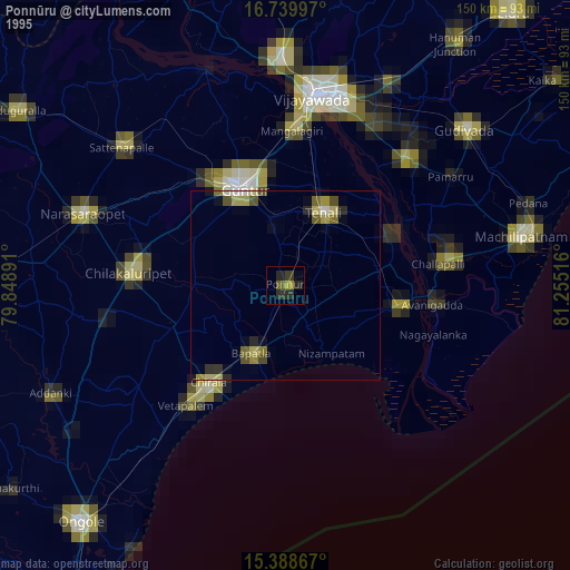
» NASA, Earths city lights 1995
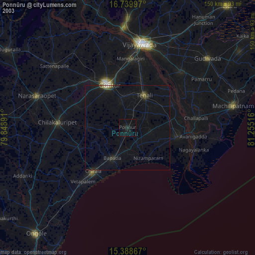
» NASA city lights 2003
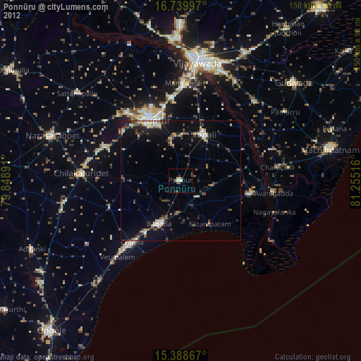
» Earth at Night: Flat Maps 2012, 2016