Ponnur night lights from space
Night Light of Ponnur (Andhra Pradesh) from space (India) Src. Average luminocity for 10x10km area is 20.314% and for 50x50km: 16.9695%.
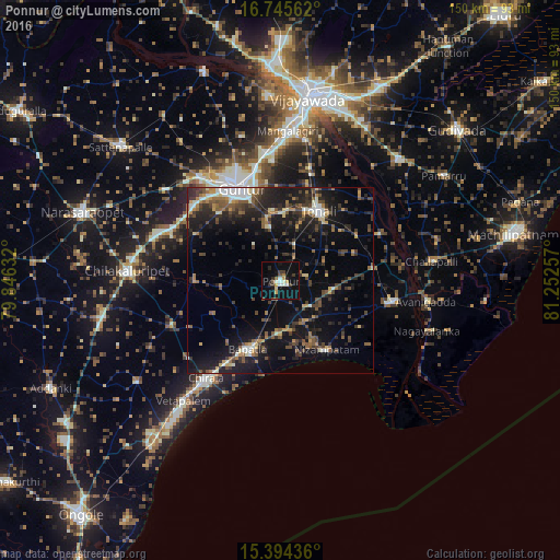
Analysis of Ponnur night lights 2016
Square area 10x10 km:
 1.24%
1.24%90-99
4.55%80-89
2.07%70-79
2.07%60-69
1.65%50-59
1.86%40-49
1.86%30-39
4.13%20-29
2.69%10-19
23.76%0-9
54.13%Square area 50x50 km:
0.82%90-99
2.56%80-89
1.17%70-79
1.73%60-69
2.21%50-59
2.72%40-49
3.75%30-39
4.07%20-29
5.54%10-19
16.01%0-9
59.43%Clear (daylight) street map image can be seen on geolist.org.
Map coordinates:
16° 44' 44.2" North, 79° 50' 46.8" East
16° 4' 16.1" North, 80° 32' 58" East
15° 23' 39.7" North, 81° 15' 9.3" East
Some cities around Ponnur sort by population:
• Guntur
27.3 km =17 mi,  338°
338°
• Chīrāla
34.7 km =21.6 mi,  217°
217°
• Bāpatla
20.5 km =12.7 mi,  205°
205°
• Mangalagiri
40 km =24.9 mi,  2°
2°
• Repalle
30.5 km =19 mi,  101°
101°
• Avanigadda
39.8 km =24.7 mi, 97°
• Bhattiprolu
25 km =15.5 mi,  81°
81°
• Phirangipuram
39.2 km =24.4 mi,  308°
308°
7302844 (p: 56,504)
Sources (retrieved 2019-11-25):
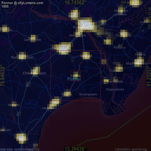
» NASA, Earths city lights 1995
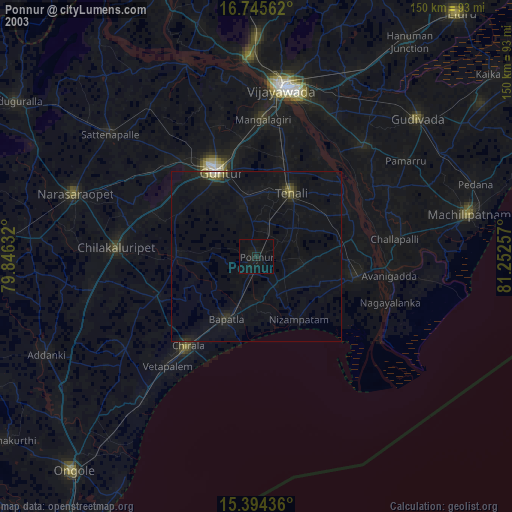
» NASA city lights 2003
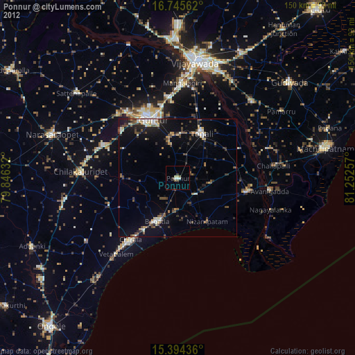
» Earth at Night: Flat Maps 2012, 2016