Kāraikāl night lights from space
Night Light of Kāraikāl (Puducherry) from space (India) Src. Average luminocity for 10x10km area is 50.1948% and for 50x50km: 12.2636%.
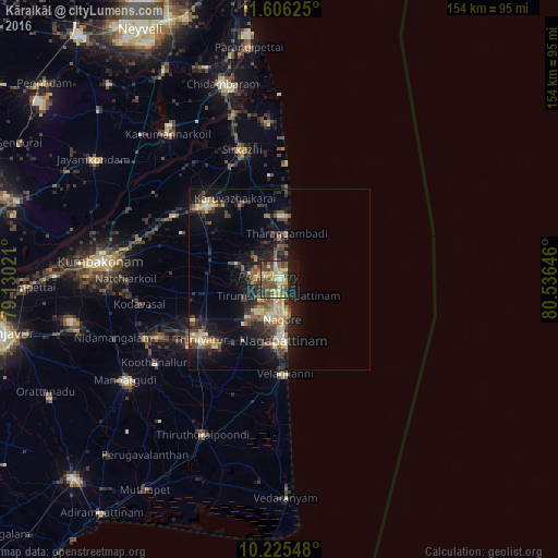
Analysis of Kāraikāl night lights 2016
Square area 10x10 km:
 1.3%
1.3%90-99
9.52%80-89
8.66%70-79
11.9%60-69
2.6%50-59
12.34%40-49
19.05%30-39
5.19%20-29
8.66%10-19
20.13%0-9
0.65%Square area 50x50 km:
0.16%90-99
1.88%80-89
1.72%70-79
1.95%60-69
0.94%50-59
2.33%40-49
3%30-39
2.23%20-29
4.47%10-19
9.32%0-9
72.01%Clear (daylight) street map image can be seen on geolist.org.
Map coordinates:
11° 36' 22.5" North, 79° 7' 48.8" East
10° 55' 0" North, 79° 49' 60" East
10° 13' 31.7" North, 80° 32' 11.3" East
Some cities around Kāraikāl sort by population:
• Negapatam
17 km =10.6 mi,  176°
176°
• Mayiladuthurai
28.5 km =17.7 mi,  316°
316°
• Thiruvarur
26.8 km =16.7 mi,  233°
233°
• Tharangambadi
12.5 km =7.8 mi,  10°
10°
• Tirumullaivāsal
35.9 km =22.3 mi,  0°
0°
• Nannilam
24.7 km =15.3 mi,  260°
260°
• Velankanni
25.9 km =16.1 mi, 180°
• Kilvelur
19.4 km =12.1 mi,  211°
211°
1267887 (p: 79,653)
Sources (retrieved 2019-11-25):
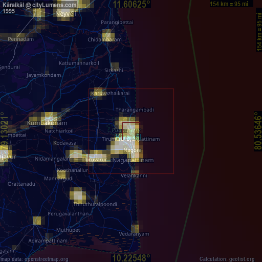
» NASA, Earths city lights 1995
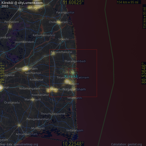
» NASA city lights 2003
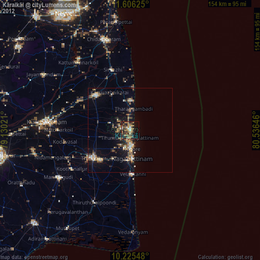
» Earth at Night: Flat Maps 2012, 2016