Kumbalam night lights from space
Night Light of Kumbalam (Kerala) from space (India) Src. Average luminocity for 10x10km area is 57.6426% and for 50x50km: 17.9692%.
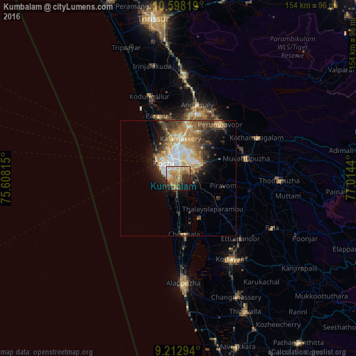
Analysis of Kumbalam night lights 2016
Square area 10x10 km:
 5.58%
5.58%90-99
8.68%80-89
6.82%70-79
18.8%60-69
17.56%50-59
8.26%40-49
3.31%30-39
8.26%20-29
7.85%10-19
12.81%0-9
2.07%Square area 50x50 km:
2.33%90-99
3.54%80-89
2.61%70-79
3.58%60-69
2.46%50-59
2.37%40-49
2.95%30-39
3.04%20-29
3.46%10-19
5.56%0-9
68.09%Clear (daylight) street map image can be seen on geolist.org.
Map coordinates:
10° 35' 53.5" North, 75° 36' 29.3" East
9° 54' 22.7" North, 76° 18' 40.6" East
9° 12' 46.6" North, 77° 0' 51.8" East
Some cities around Kumbalam sort by population:
• Cochin
6.7 km =4.2 mi,  303°
303°
• Kalamassery
17.3 km =10.7 mi,  5°
5°
• Aroor
4.2 km =2.6 mi,  189°
189°
• Elūr
18.1 km =11.2 mi,  350°
350°
• Kutiatodu
12.1 km =7.5 mi,  168°
168°
• Vaikam
19.9 km =12.4 mi,  152°
152°
• Arukutti
6.1 km =3.8 mi,  136°
136°
• Rāmamangalam
20.9 km =13 mi,  81°
81°
10627510 (p: 24,143)
Sources (retrieved 2019-11-25):
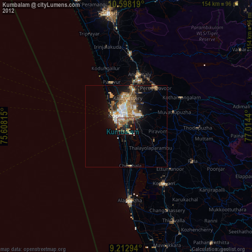
» Earth at Night: Flat Maps 2012, 2016