Utraula night lights from space
Night Light of Utraula (Uttar Pradesh) from space (India) Src. Average luminocity for 10x10km area is 19.5966% and for 50x50km: 7.819%.
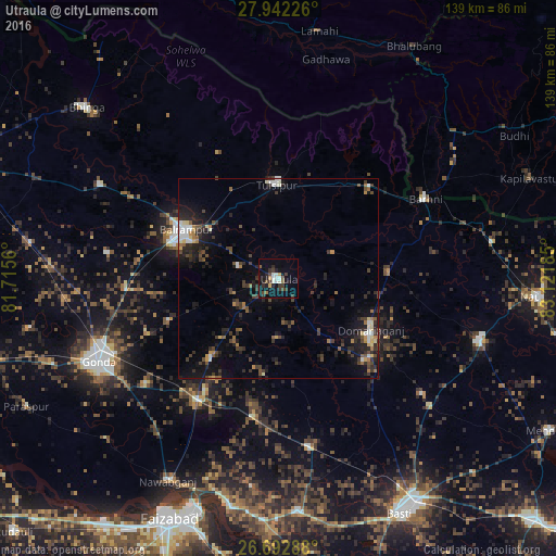
Analysis of Utraula night lights 2016
Square area 10x10 km:
 1.89%
1.89%90-99
4.17%80-89
0.57%70-79
1.14%60-69
1.33%50-59
2.27%40-49
3.22%30-39
7.2%20-29
5.68%10-19
15.72%0-9
56.82%Square area 50x50 km:
0.7%90-99
0.92%80-89
0.56%70-79
0.5%60-69
0.84%50-59
0.97%40-49
1.65%30-39
2.21%20-29
3.22%10-19
5.76%0-9
82.67%Clear (daylight) street map image can be seen on geolist.org.
Map coordinates:
27° 56' 32.1" North, 81° 42' 56.2" East
27° 19' 9.6" North, 82° 25' 7.4" East
26° 41' 34.4" North, 83° 7' 18.7" East
Some cities around Utraula sort by population:
• Gondā City
50.5 km =31.4 mi,  245°
245°
• Balrāmpur
26.1 km =16.2 mi,  298°
298°
• Tulsīpur
23.8 km =14.8 mi,  359°
359°
• Pachperwa
30.8 km =19.1 mi,  45°
45°
• Ikauna
50.2 km =31.2 mi, 297°
• Mankāpur
35.1 km =21.8 mi,  212°
212°
• Khargupur
43 km =26.7 mi,  278°
278°
• Katra
44.1 km =27.4 mi, 298°
1253638 (p: 28,437)
Sources (retrieved 2019-11-25):
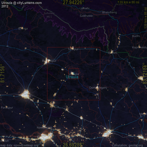
» Earth at Night: Flat Maps 2012, 2016