Nowrangapur night lights from space
Night Light of Nowrangapur (Odisha) from space (India) Src. Average luminocity for 10x10km area is 23.2165% and for 50x50km: 1.7302%.
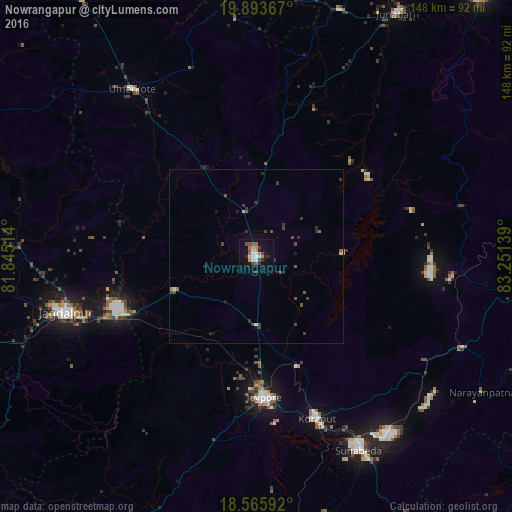
Analysis of Nowrangapur night lights 2016
Square area 10x10 km:
 3.46%
3.46%90-99
3.46%80-89
2.16%70-79
2.6%60-69
3.68%50-59
2.6%40-49
4.55%30-39
3.03%20-29
3.46%10-19
12.55%0-9
58.44%Square area 50x50 km:
0.16%90-99
0.16%80-89
0.14%70-79
0.13%60-69
0.2%50-59
0.24%40-49
0.47%30-39
0.6%20-29
0.46%10-19
0.7%0-9
96.73%Clear (daylight) street map image can be seen on geolist.org.
Map coordinates:
19° 53' 37.2" North, 81° 50' 42.5" East
19° 13' 52.1" North, 82° 32' 53.7" East
18° 33' 57.3" North, 83° 15' 5" East
Some cities around Nowrangapur sort by population:
• Jeypore
41.8 km =26 mi,  176°
176°
• Jagdalpur
57.8 km =35.9 mi,  253°
253°
• Bhawānipatna
99.3 km =61.7 mi,  40°
40°
• Korāput
49.6 km =30.8 mi,  159°
159°
• Kondagaon
101 km =62.8 mi,  293°
293°
• Umarkot
60.1 km =37.3 mi,  323°
323°
• Jūnāgarh
80.7 km =50.1 mi,  30°
30°
• Kotapārh
25.4 km =15.8 mi, 247°
1261162 (p: 1,220,946)
Sources (retrieved 2019-11-25):
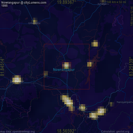
» NASA, Earths city lights 1995
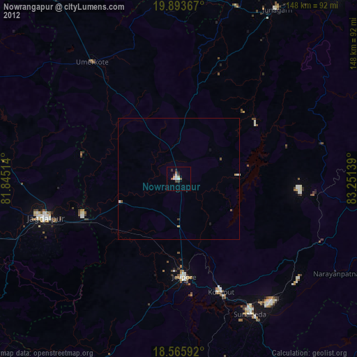
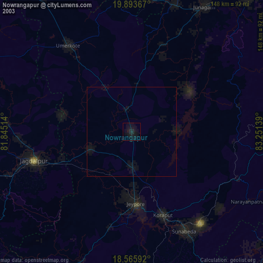
» NASA city lights 2003
» Earth at Night: Flat Maps 2012, 2016