Topchānchi night lights from space
Night Light of Topchānchi (Jharkhand) from space (India) Src. Average luminocity for 10x10km area is 39.1567% and for 50x50km: 39.6595%.
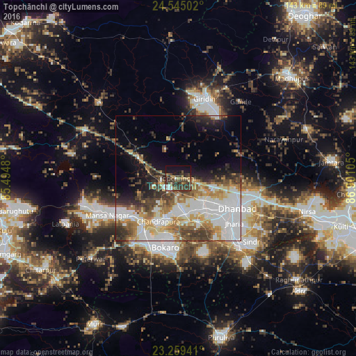
Analysis of Topchānchi night lights 2016
Square area 10x10 km:
 3.17%
3.17%90-99
4.37%80-89
4.37%70-79
4.56%60-69
2.78%50-59
6.55%40-49
14.88%30-39
19.05%20-29
10.12%10-19
22.22%0-9
7.94%Square area 50x50 km:
10.99%90-99
8.91%80-89
4.01%70-79
4.24%60-69
5.13%50-59
4.62%40-49
5.04%30-39
6.12%20-29
5.42%10-19
8.06%0-9
37.47%Clear (daylight) street map image can be seen on geolist.org.
Map coordinates:
24° 32' 42.1" North, 85° 29' 41.3" East
23° 54' 13.7" North, 86° 11' 52.5" East
23° 15' 33.9" North, 86° 54' 3.8" East
Some cities around Topchānchi sort by population:
• Dhanbād
27.4 km =17 mi,  114°
114°
• Kātrās
15.6 km =9.7 mi,  139°
139°
• Sijua
19.6 km =12.2 mi, 136°
• Gomoh
5.8 km =3.6 mi,  234°
234°
• Dugda
17.8 km =11.1 mi,  188°
188°
• Malkera
16.3 km =10.1 mi,  145°
145°
• Bagra
22.5 km =14 mi, 147°
• Kenduadīh
23 km =14.3 mi,  128°
128°
1254231 (p: 5,789)
Sources (retrieved 2019-11-25):
» Earth at Night: Flat Maps 2012, 2016