Kātrās night lights from space
Night Light of Kātrās (Jharkhand) from space (India) Src. Average luminocity for 10x10km area is 94.623% and for 50x50km: 54.6408%.
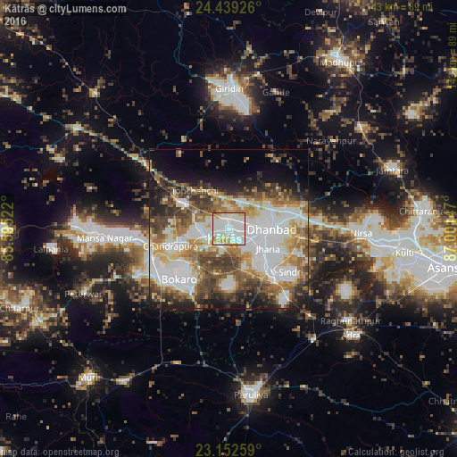
Analysis of Kātrās night lights 2016
Square area 10x10 km:
 40.87%
90-99
40.08%80-89
7.34%70-79
9.52%60-69
1.39%50-59
0.79%40-49
0%30-39
0%20-29
0%10-19
0%0-9
0%Square area 50x50 km:
15.33%90-99
12.32%80-89
6.09%70-79
6.15%60-69
7.21%50-59
7.3%40-49
7.29%30-39
7.53%20-29
5.97%10-19
8.63%0-9
16.19%Clear (daylight) street map image can be seen on geolist.org.
Map coordinates:
24° 26' 21.3" North, 85° 35' 42.8" East
23° 47' 51.1" North, 86° 17' 54" East
23° 9' 9.3" North, 87° 0' 5.3" East
Some cities around Kātrās sort by population:
• Dhanbād
14.7 km =9.1 mi,  88°
88°
• Jharia
13.4 km =8.3 mi,  118°
118°
• Jāmadoba
13.7 km =8.5 mi,  130°
130°
• Sijua
4 km =2.5 mi, 126°
• Dugda
14.1 km =8.8 mi,  245°
245°
• Malkera
2 km =1.2 mi,  212°
212°
• Bagra
7.4 km =4.6 mi,  165°
165°
• Kenduadīh
8.3 km =5.2 mi,  107°
107°
1267439 (p: 57,349)
Sources (retrieved 2019-11-25):
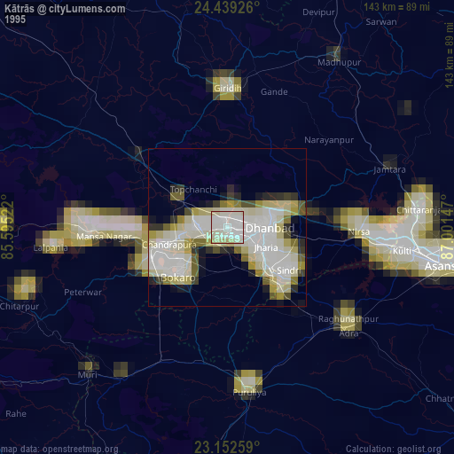
» NASA, Earths city lights 1995
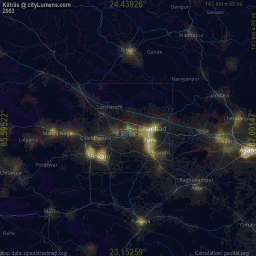
» NASA city lights 2003
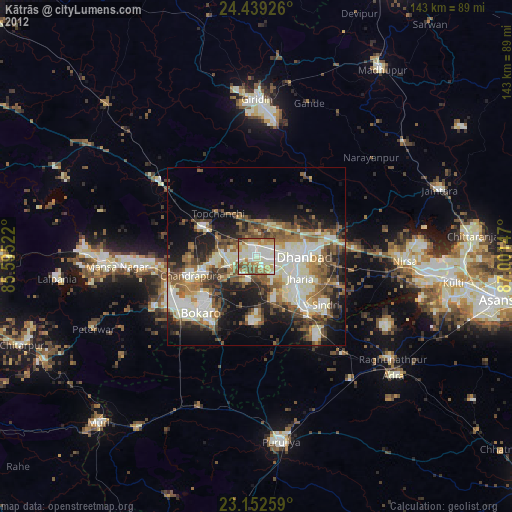
» Earth at Night: Flat Maps 2012, 2016