Gomoh night lights from space
Night Light of Gomoh (Jharkhand) from space (India) Src. Average luminocity for 10x10km area is 51.4583% and for 50x50km: 40.8873%.
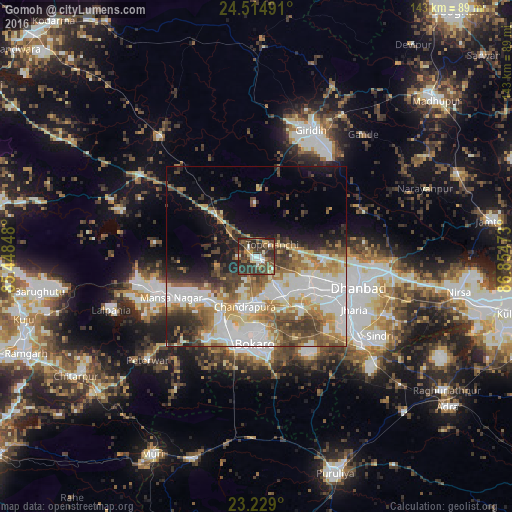
Analysis of Gomoh night lights 2016
Square area 10x10 km:
 6.35%
6.35%90-99
9.13%80-89
2.78%70-79
3.97%60-69
5.36%50-59
16.27%40-49
14.29%30-39
22.82%20-29
17.06%10-19
1.98%0-9
0%Square area 50x50 km:
10.1%90-99
9.17%80-89
4.48%70-79
4.41%60-69
5.66%50-59
5.51%40-49
6.13%30-39
6.19%20-29
5.57%10-19
8.01%0-9
34.77%Clear (daylight) street map image can be seen on geolist.org.
Map coordinates:
24° 30' 53.7" North, 85° 26' 54.5" East
23° 52' 24.8" North, 86° 9' 5.8" East
23° 13' 44.4" North, 86° 51' 17" East
Some cities around Gomoh sort by population:
• Bokāro
22.1 km =13.7 mi,  244°
244°
• Kātrās
17.2 km =10.7 mi,  119°
119°
• Sijua
21.2 km =13.2 mi, 120°
• Dugda
14.4 km =8.9 mi,  171°
171°
• Malkera
17.2 km =10.7 mi,  126°
126°
• Bagra
22.9 km =14.2 mi, 132°
• Kenduadīh
25.3 km =15.7 mi, 115°
• Topchānchi
5.8 km =3.6 mi,  54°
54°
1271005 (p: 31,395)
Sources (retrieved 2019-11-25):
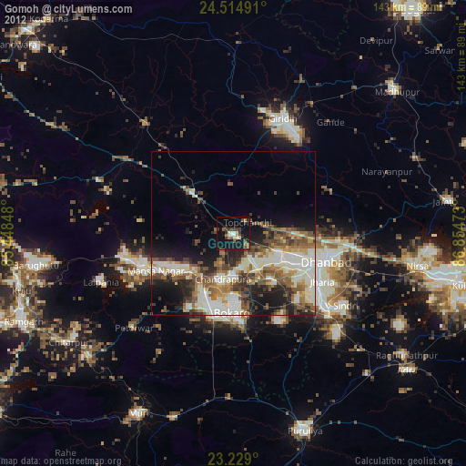
» Earth at Night: Flat Maps 2012, 2016