Todabhim night lights from space
Night Light of Todabhim (Rajasthan) from space (India) Src. Average luminocity for 10x10km area is 48.0139% and for 50x50km: 29.3432%.
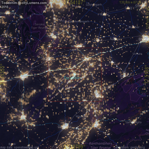
Analysis of Todabhim night lights 2016
Square area 10x10 km:
 4.17%
4.17%90-99
6.55%80-89
8.13%70-79
5.95%60-69
5.16%50-59
6.55%40-49
14.29%30-39
11.71%20-29
36.9%10-19
0.6%0-9
0%Square area 50x50 km:
1%90-99
2.18%80-89
3.55%70-79
2.64%60-69
4.64%50-59
6.01%40-49
6.99%30-39
7.13%20-29
13.99%10-19
37.16%0-9
14.69%Clear (daylight) street map image can be seen on geolist.org.
Map coordinates:
27° 32' 30.7" North, 76° 6' 48.8" East
26° 55' 0" North, 76° 49' 0" East
26° 17' 16.8" North, 77° 31' 11.3" East
Some cities around Todabhim sort by population:
• Hindaun
29.7 km =18.5 mi,  133°
133°
• Bayāna
46.9 km =29.1 mi,  91°
91°
• Rājgarh
40.5 km =25.2 mi,  331°
331°
• Mahwah
18.3 km =11.4 mi,  38°
38°
• Baswa
34.7 km =21.6 mi,  318°
318°
• Bhasāwar
26.7 km =16.6 mi,  59°
59°
• Wer
37.4 km =23.2 mi,  72°
72°
• Bāndīkūi
28.4 km =17.6 mi,  301°
301°
1254283 (p: 22,529)
Sources (retrieved 2019-11-25):
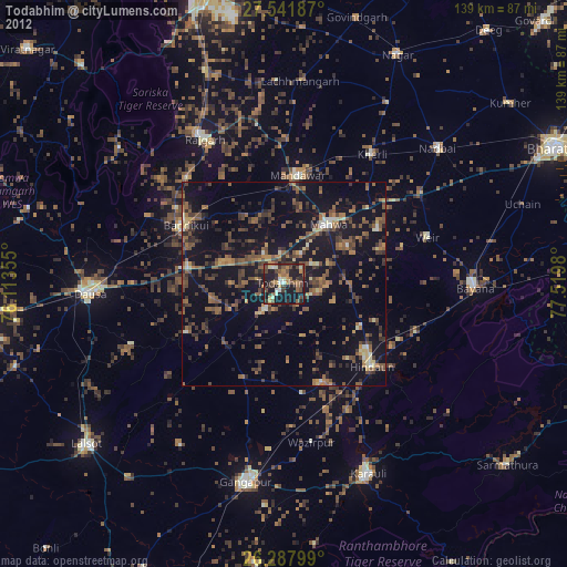
» Earth at Night: Flat Maps 2012, 2016