Hindaun night lights from space
Night Light of Hindaun (Rajasthan) from space (India) Src. Average luminocity for 10x10km area is 50.4147% and for 50x50km: 20.9267%.
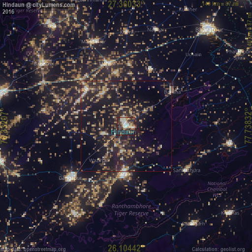
Analysis of Hindaun night lights 2016
Square area 10x10 km:
 4.37%
4.37%90-99
11.71%80-89
9.72%70-79
2.98%60-69
7.34%50-59
8.93%40-49
6.15%30-39
9.13%20-29
29.17%10-19
10.52%0-9
0%Square area 50x50 km:
0.7%90-99
1.85%80-89
2.55%70-79
1.77%60-69
3.16%50-59
3.91%40-49
4.9%30-39
5.13%20-29
10.24%10-19
22.62%0-9
43.15%Clear (daylight) street map image can be seen on geolist.org.
Map coordinates:
27° 21' 37.2" North, 76° 19' 55.5" East
26° 44' 2.8" North, 77° 2' 6.7" East
26° 6' 15.9" North, 77° 44' 18" East
Some cities around Hindaun sort by population:
• Gangāpur
42.9 km =26.7 mi,  227°
227°
• Karauli
26.2 km =16.3 mi,  181°
181°
• Bayāna
31.8 km =19.8 mi,  52°
52°
• Nādbai
56.6 km =35.2 mi,  16°
16°
• Mahwah
36.2 km =22.5 mi,  343°
343°
• Todabhim
29.7 km =18.5 mi,  313°
313°
• Bhasāwar
33.9 km =21.1 mi,  2°
2°
• Wer
34.6 km =21.5 mi, 23°
1270090 (p: 95,593)
Sources (retrieved 2019-11-25):
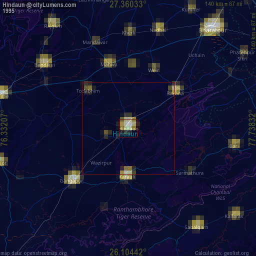
» NASA, Earths city lights 1995
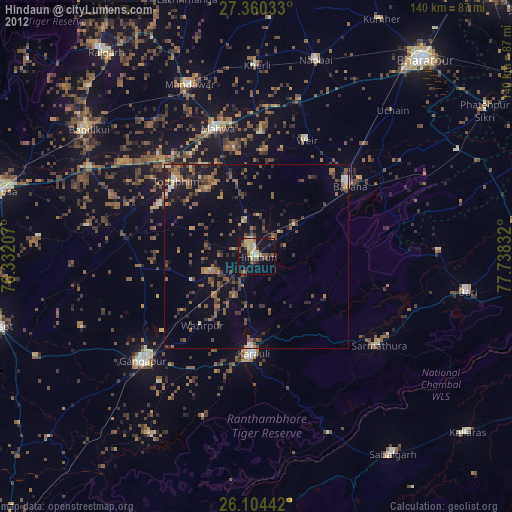
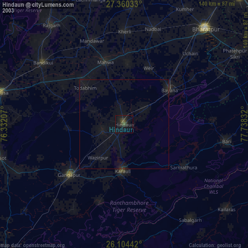
» NASA city lights 2003
» Earth at Night: Flat Maps 2012, 2016