Beypore night lights from space
Night Light of Beypore (Kerala) from space (India) Src. Average luminocity for 10x10km area is 9.3117% and for 50x50km: 3.14%.
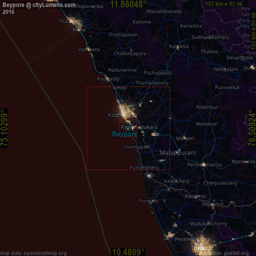
Analysis of Beypore night lights 2016
Square area 10x10 km:
 0%
0%90-99
0%80-89
0.87%70-79
0.87%60-69
0%50-59
3.03%40-49
1.52%30-39
2.16%20-29
4.11%10-19
13.64%0-9
73.81%Square area 50x50 km:
0%90-99
0.06%80-89
0.59%70-79
0.39%60-69
0.43%50-59
0.86%40-49
0.82%30-39
0.61%20-29
0.71%10-19
2.85%0-9
92.66%Clear (daylight) street map image can be seen on geolist.org.
Map coordinates:
11° 51' 37.7" North, 75° 6' 10.8" East
11° 10' 17.4" North, 75° 48' 22" East
10° 28' 51.2" North, 76° 30' 33.3" East
Some cities around Beypore sort by population:
• Kozhikode
9 km =5.6 mi,  341°
341°
• Manjeri
34.7 km =21.6 mi,  99°
99°
• Malappuram
33.3 km =20.7 mi,  115°
115°
• Tirur
31.3 km =19.4 mi,  156°
156°
• Kunnamangalam
16.7 km =10.4 mi,  27°
27°
• Ferokh
4 km =2.5 mi,  76°
76°
• Mavoor
16 km =9.9 mi,  48°
48°
• Pariyāpuram
18.4 km =11.4 mi, 159°
1276378 (p: 70,751)
Sources (retrieved 2019-11-25):
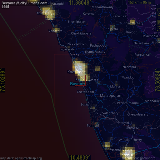
» NASA, Earths city lights 1995
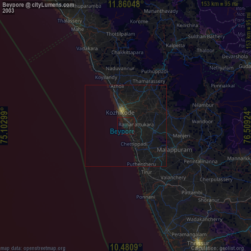
» NASA city lights 2003
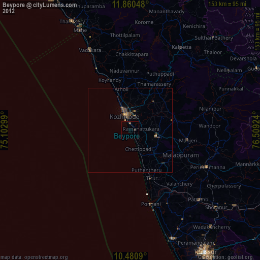
» Earth at Night: Flat Maps 2012, 2016