Malappuram night lights from space
Night Light of Malappuram (Kerala) from space (India) Src. Average luminocity for 10x10km area is 1.3355% and for 50x50km: 0.9724%.
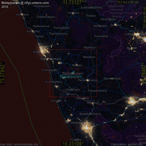
Analysis of Malappuram night lights 2016
Square area 10x10 km:
 0%
0%90-99
0%80-89
0%70-79
0%60-69
0%50-59
0%40-49
0.65%30-39
1.95%20-29
0.87%10-19
0.22%0-9
96.32%Square area 50x50 km:
0%90-99
0.02%80-89
0.12%70-79
0.03%60-69
0.14%50-59
0.2%40-49
0.34%30-39
0.29%20-29
0.51%10-19
0.57%0-9
97.77%Clear (daylight) street map image can be seen on geolist.org.
Map coordinates:
11° 43' 52.6" North, 75° 22' 42.3" East
11° 2' 31.2" North, 76° 4' 53.5" East
10° 21' 3.9" North, 76° 47' 4.8" East
Some cities around Malappuram sort by population:
• Ponnāni
35 km =21.7 mi,  209°
209°
• Manjeri
9.7 km =6 mi,  25°
25°
• Beypore
33.3 km =20.7 mi,  295°
295°
• Tirur
22.6 km =14 mi,  230°
230°
• Ferokh
30.4 km =18.9 mi, 300°
• Cherpulassery
30.9 km =19.2 mi,  126°
126°
• Mavoor
30.8 km =19.1 mi,  324°
324°
• Pariyāpuram
23.6 km =14.7 mi,  263°
263°
1264154 (p: 61,743)
Sources (retrieved 2019-11-25):
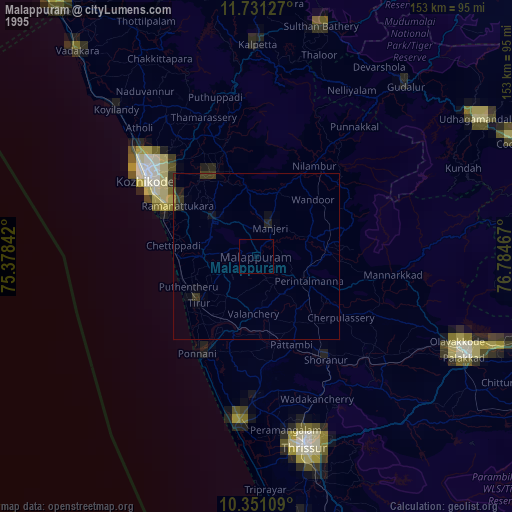
» NASA, Earths city lights 1995
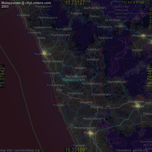
» NASA city lights 2003
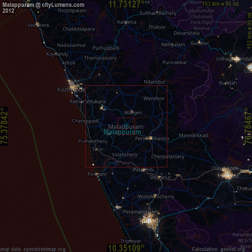
» Earth at Night: Flat Maps 2012, 2016