Thāna Bhawan night lights from space
Night Light of Thāna Bhawan (Uttar Pradesh) from space (India) Src. Average luminocity for 10x10km area is 34.8313% and for 50x50km: 30.1917%.
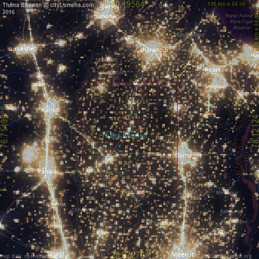
Analysis of Thāna Bhawan night lights 2016
Square area 10x10 km:
 2.18%
2.18%90-99
3.37%80-89
3.57%70-79
3.17%60-69
5.16%50-59
5.75%40-49
8.53%30-39
6.94%20-29
14.68%10-19
46.63%0-9
0%Square area 50x50 km:
1.1%90-99
2.71%80-89
2.18%70-79
2.75%60-69
3.9%50-59
5.92%40-49
9.47%30-39
7.85%20-29
14.87%10-19
39.98%0-9
9.26%Clear (daylight) street map image can be seen on geolist.org.
Map coordinates:
30° 11' 44.3" North, 76° 42' 54" East
29° 35' 9.8" North, 77° 25' 5.2" East
28° 58' 21.9" North, 78° 7' 16.5" East
Some cities around Thāna Bhawan sort by population:
• Shāmli
18.4 km =11.4 mi,  214°
214°
• Jalālābad
4.1 km =2.5 mi,  29°
29°
• Banat
14.9 km =9.3 mi,  204°
204°
• Charthāwal
17.6 km =10.9 mi,  104°
104°
• Nanauta
14 km =8.7 mi,  359°
359°
• Ūn
15.7 km =9.8 mi,  269°
269°
• Garhi Pūkhta
11.3 km =7 mi,  249°
249°
• Titron
12.9 km =8 mi,  315°
315°
1254673 (p: 33,498)
Sources (retrieved 2019-11-25):
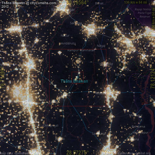
» Earth at Night: Flat Maps 2012, 2016