Tezu night lights from space
Night Light of Tezu (Arunachal Pradesh) from space (India) Src. Average luminocity for 10x10km area is 0% and for 50x50km: 0.0226%.
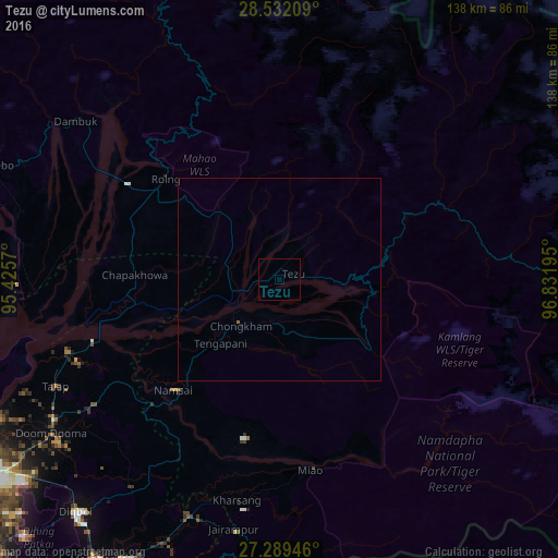
Analysis of Tezu night lights 2016
Square area 10x10 km:
 0%
0%90-99
0%80-89
0%70-79
0%60-69
0%50-59
0%40-49
0%30-39
0%20-29
0%10-19
0%0-9
100%Square area 50x50 km:
0%90-99
0%80-89
0%70-79
0%60-69
0%50-59
0.03%40-49
0%30-39
0%20-29
0%10-19
0.02%0-9
99.95%Clear (daylight) street map image can be seen on geolist.org.
Map coordinates:
28° 31' 55.5" North, 95° 25' 32.5" East
27° 54' 45.2" North, 96° 7' 43.8" East
27° 17' 22.1" North, 96° 49' 55" East
Some cities around Tezu sort by population:
• Tinsukia
89.1 km =55.4 mi,  238°
238°
• Pāsighāt
80.6 km =50.1 mi,  282°
282°
• Margherita
83.3 km =51.8 mi,  213°
213°
• Duliāgaon
100.8 km =62.6 mi,  233°
233°
• Dum Duma
68.1 km =42.3 mi, 235°
• Digboi
76.6 km =47.6 mi,  221°
221°
• Mākum
83 km =51.6 mi, 235°
• Nahorkatiya
104 km =64.6 mi, 228°
1254709 (p: 14,927)
Sources (retrieved 2019-11-25):
» Earth at Night: Flat Maps 2012, 2016