Digboi night lights from space
Night Light of Digboi (Assam) from space (India) Src. Average luminocity for 10x10km area is 20.5246% and for 50x50km: 12.52%.
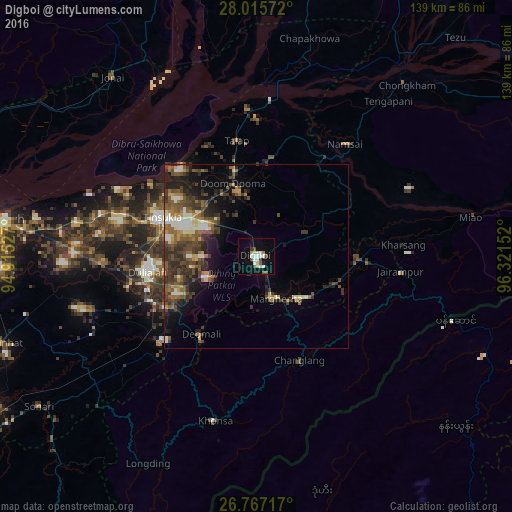
Analysis of Digboi night lights 2016
Square area 10x10 km:
 4.36%
4.36%90-99
5.11%80-89
1.14%70-79
1.89%60-69
0.38%50-59
2.27%40-49
3.79%30-39
0.76%20-29
0.19%10-19
14.96%0-9
65.15%Square area 50x50 km:
1.02%90-99
2.02%80-89
0.83%70-79
1.18%60-69
1.74%50-59
2.73%40-49
3.53%30-39
3.2%20-29
3.61%10-19
6.22%0-9
73.93%Clear (daylight) street map image can be seen on geolist.org.
Map coordinates:
28° 0' 56.6" North, 94° 54' 55" East
27° 23' 35.6" North, 95° 37' 6.2" East
26° 46' 1.8" North, 96° 19' 17.5" East
Some cities around Digboi sort by population:
• Tinsukia
27.6 km =17.1 mi,  292°
292°
• Margherita
13 km =8.1 mi,  157°
157°
• Duliāgaon
30.8 km =19.1 mi,  265°
265°
• Dum Duma
20.5 km =12.7 mi,  342°
342°
• Nāmrup
36.9 km =22.9 mi,  233°
233°
• Mākum
20.7 km =12.9 mi,  300°
300°
• Nahorkatiya
29.7 km =18.5 mi,  247°
247°
• Khonsa
42.2 km =26.2 mi,  186°
186°
1272629 (p: 20,685)
Sources (retrieved 2019-11-25):
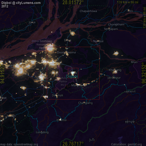
» Earth at Night: Flat Maps 2012, 2016