Tezpur night lights from space
Night Light of Tezpur (Assam) from space (India) Src. Average luminocity for 10x10km area is 30.1686% and for 50x50km: 10.4333%.
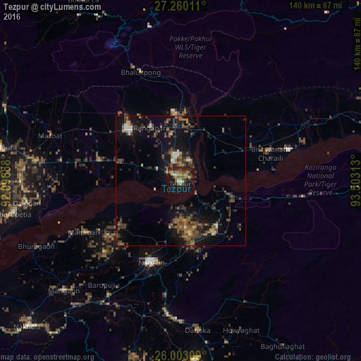
Analysis of Tezpur night lights 2016
Square area 10x10 km:
 1.52%
1.52%90-99
1.89%80-89
3.98%70-79
4.92%60-69
6.06%50-59
6.63%40-49
5.11%30-39
7.95%20-29
10.98%10-19
23.48%0-9
27.46%Square area 50x50 km:
0.48%90-99
0.76%80-89
0.52%70-79
0.85%60-69
1.89%50-59
2.1%40-49
2.97%30-39
2.84%20-29
3.53%10-19
10.02%0-9
74.04%Clear (daylight) street map image can be seen on geolist.org.
Map coordinates:
27° 15' 36.4" North, 92° 5' 48.8" East
26° 37' 60" North, 92° 48' 0" East
26° 0' 11.1" North, 93° 30' 11.3" East
Some cities around Tezpur sort by population:
• Hojāi
70.3 km =43.7 mi,  175°
175°
• Mangaldai
79.4 km =49.3 mi,  254°
254°
• Dhekiajuli
32.9 km =20.4 mi,  283°
283°
• Dhing
37.3 km =23.2 mi,  240°
240°
• Morigaon
62.1 km =38.6 mi,  226°
226°
• Rangāpāra
26.2 km =16.3 mi,  330°
330°
• Khārupatia
66.2 km =41.1 mi,  258°
258°
• Udalguri
70.6 km =43.9 mi, 280°
1254710 (p: 58,851)
Sources (retrieved 2019-11-25):
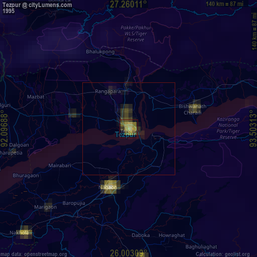
» NASA, Earths city lights 1995
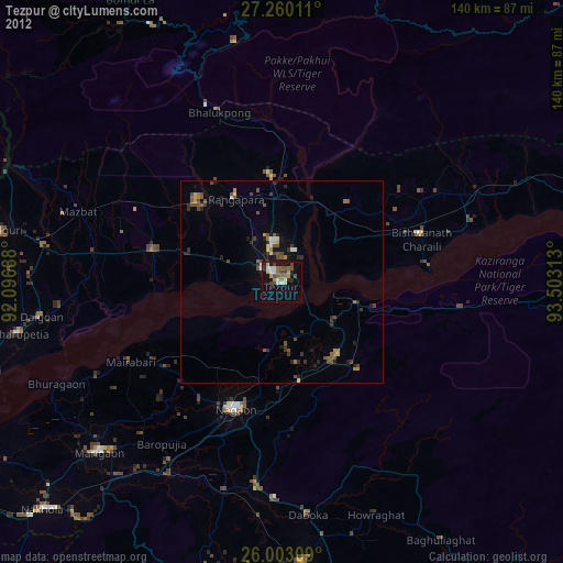
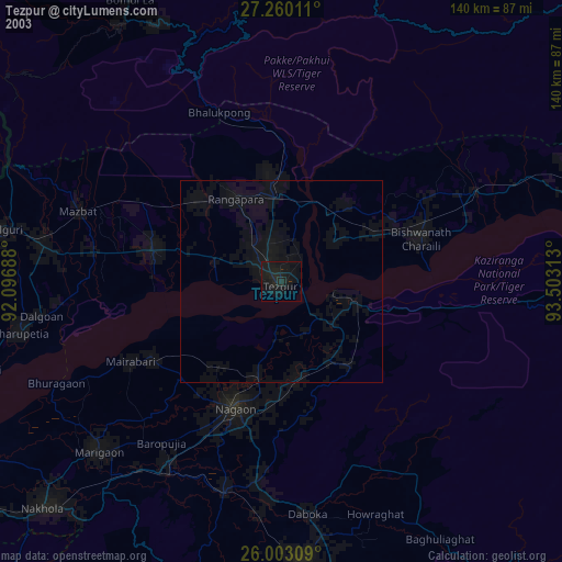
» NASA city lights 2003
» Earth at Night: Flat Maps 2012, 2016