Dhekiajuli night lights from space
Night Light of Dhekiajuli (Assam) from space (India) Src. Average luminocity for 10x10km area is 7.7996% and for 50x50km: 4.489%.
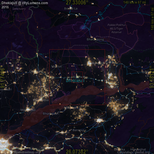
Analysis of Dhekiajuli night lights 2016
Square area 10x10 km:
 0%
0%90-99
0%80-89
0%70-79
0.99%60-69
1.19%50-59
2.18%40-49
2.78%30-39
1.59%20-29
6.75%10-19
1.98%0-9
82.54%Square area 50x50 km:
0.17%90-99
0.3%80-89
0.19%70-79
0.37%60-69
0.37%50-59
0.76%40-49
1.53%30-39
1.05%20-29
2.01%10-19
3.22%0-9
90.03%Clear (daylight) street map image can be seen on geolist.org.
Map coordinates:
27° 19' 48.2" North, 91° 46' 29.9" East
26° 42' 13.2" North, 92° 28' 41.1" East
26° 4' 25.8" North, 93° 10' 52.4" East
Some cities around Dhekiajuli sort by population:
• Tezpur
32.9 km =20.4 mi,  103°
103°
• Mangaldai
53.2 km =33.1 mi,  236°
236°
• Dhing
26.2 km =16.3 mi,  181°
181°
• Morigaon
52.2 km =32.4 mi,  194°
194°
• Rangāpāra
24.1 km =15 mi,  51°
51°
• Khārupatia
38.8 km =24.1 mi, 237°
• Udalguri
37.7 km =23.4 mi,  278°
278°
• Bomdila
62.6 km =38.9 mi,  355°
355°
1272790 (p: 21,271)
Sources (retrieved 2019-11-25):
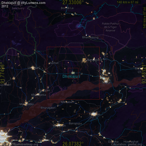
» Earth at Night: Flat Maps 2012, 2016