Morigaon night lights from space
Night Light of Morigaon (Assam) from space (India) Src. Average luminocity for 10x10km area is 11.369% and for 50x50km: 5.6337%.
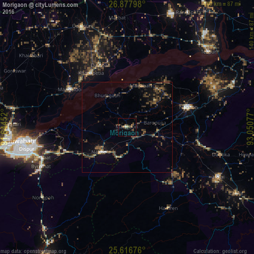
Analysis of Morigaon night lights 2016
Square area 10x10 km:
 0.6%
0.6%90-99
0.2%80-89
0.79%70-79
0.79%60-69
1.98%50-59
3.77%40-49
4.17%30-39
0.79%20-29
1.98%10-19
3.17%0-9
81.75%Square area 50x50 km:
0.07%90-99
0.2%80-89
0.12%70-79
0.41%60-69
0.7%50-59
1.41%40-49
2.45%30-39
1.74%20-29
1.81%10-19
3.69%0-9
87.39%Clear (daylight) street map image can be seen on geolist.org.
Map coordinates:
26° 52' 40.7" North, 91° 38' 40.3" East
26° 14' 56.7" North, 92° 20' 51.5" East
25° 37' 0.3" North, 93° 3' 2.8" East
Some cities around Morigaon sort by population:
• Guwahati
60.5 km =37.6 mi,  263°
263°
• Hojāi
57.7 km =35.9 mi,  118°
118°
• Mangaldai
38.2 km =23.7 mi,  304°
304°
• Dhekiajuli
52.2 km =32.4 mi,  14°
14°
• Dhing
27.4 km =17 mi,  27°
27°
• Khārupatia
36 km =22.4 mi,  326°
326°
• Nongpoh
60.8 km =37.8 mi,  230°
230°
• Dispur
56 km =34.8 mi, 256°
7302854 (p: 20,807)
Sources (retrieved 2019-11-25):
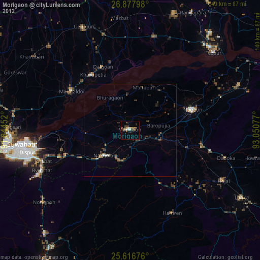
» Earth at Night: Flat Maps 2012, 2016