Dhing night lights from space
Night Light of Dhing (Assam) from space (India) Src. Average luminocity for 10x10km area is 12.2254% and for 50x50km: 5.7292%.
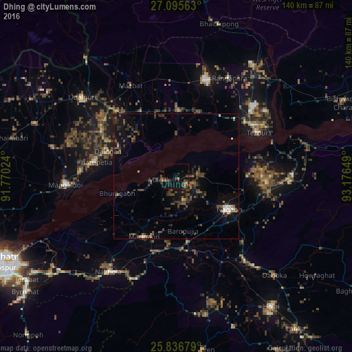
Analysis of Dhing night lights 2016
Square area 10x10 km:
 0%
0%90-99
0%80-89
0.76%70-79
1.52%60-69
1.52%50-59
1.89%40-49
4.36%30-39
3.98%20-29
4.92%10-19
10.8%0-9
70.27%Square area 50x50 km:
0.19%90-99
0.25%80-89
0.25%70-79
0.22%60-69
0.54%50-59
1.31%40-49
2.27%30-39
1.71%20-29
2.33%10-19
4.71%0-9
86.23%Clear (daylight) street map image can be seen on geolist.org.
Map coordinates:
27° 5' 44.3" North, 91° 46' 12.9" East
26° 28' 4.5" North, 92° 28' 24.1" East
25° 50' 12.4" North, 93° 10' 35.4" East
Some cities around Dhing sort by population:
• Tezpur
37.3 km =23.2 mi,  60°
60°
• Hojāi
64.3 km =40 mi,  143°
143°
• Mangaldai
44.2 km =27.5 mi,  266°
266°
• Dhekiajuli
26.2 km =16.3 mi,  1°
1°
• Morigaon
27.4 km =17 mi,  207°
207°
• Rangāpāra
45.5 km =28.3 mi,  25°
25°
• Khārupatia
32.9 km =20.4 mi,  279°
279°
• Udalguri
48.7 km =30.3 mi,  310°
310°
1272768 (p: 20,826)
Sources (retrieved 2019-11-25):
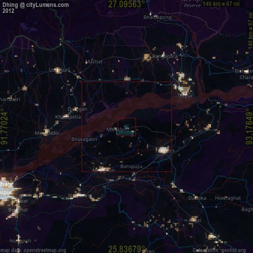
» Earth at Night: Flat Maps 2012, 2016