Sindhnūr night lights from space
Night Light of Sindhnūr (Karnataka) from space (India) Src. Average luminocity for 10x10km area is 27.3745% and for 50x50km: 7.8339%.
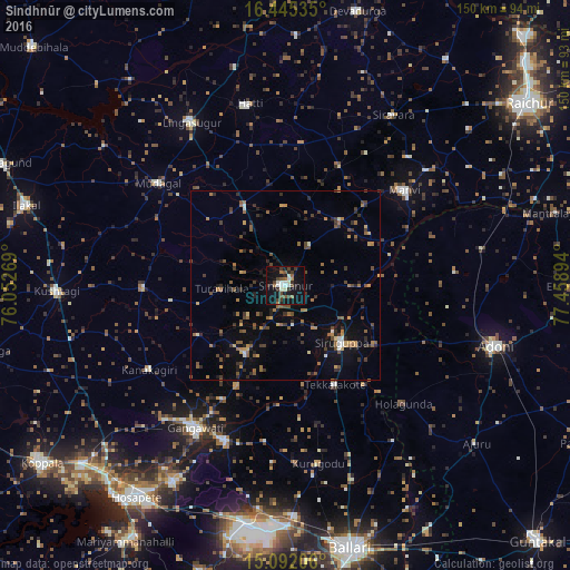
Analysis of Sindhnūr night lights 2016
Square area 10x10 km:
 4.33%
4.33%90-99
5.19%80-89
0.87%70-79
0.65%60-69
3.46%50-59
3.9%40-49
6.28%30-39
6.28%20-29
4.98%10-19
37.45%0-9
26.62%Square area 50x50 km:
0.32%90-99
0.6%80-89
0.37%70-79
0.92%60-69
1.45%50-59
1.73%40-49
1.66%30-39
1.67%20-29
1.79%10-19
4.52%0-9
84.98%Clear (daylight) street map image can be seen on geolist.org.
Map coordinates:
16° 26' 43.3" North, 76° 3' 9.7" East
15° 46' 11.4" North, 76° 45' 20.9" East
15° 5' 31.4" North, 77° 27' 32.2" East
Some cities around Sindhnūr sort by population:
• Gangāwati
44.8 km =27.8 mi,  212°
212°
• Siruguppa
21.3 km =13.2 mi,  136°
136°
• Mānvi
40 km =24.9 mi,  51°
51°
• Kampli
43.7 km =27.2 mi,  202°
202°
• Lingsugūr
50 km =31.1 mi,  329°
329°
• Tekkalakote
29.2 km =18.1 mi,  153°
153°
• Mudgal
43 km =26.7 mi,  308°
308°
• Kosigi
53.1 km =33 mi,  79°
79°
1256207 (p: 68,793)
Sources (retrieved 2019-11-25):
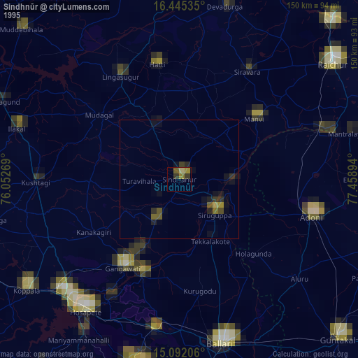
» NASA, Earths city lights 1995
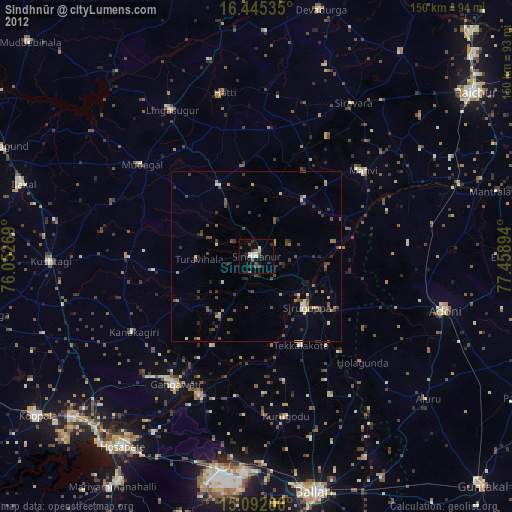
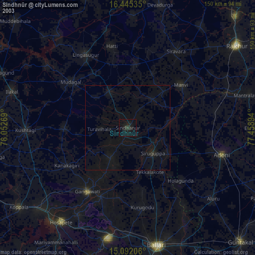
» NASA city lights 2003
» Earth at Night: Flat Maps 2012, 2016