Kampli night lights from space
Night Light of Kampli (Karnataka) from space (India) Src. Average luminocity for 10x10km area is 29.5455% and for 50x50km: 18.0794%.
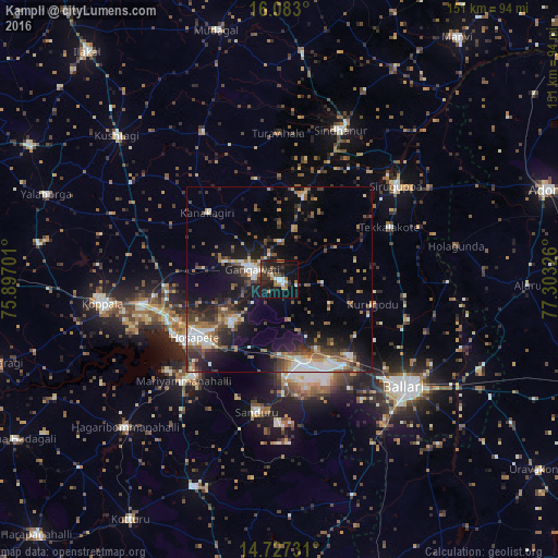
Analysis of Kampli night lights 2016
Square area 10x10 km:
 3.25%
3.25%90-99
3.03%80-89
1.52%70-79
3.25%60-69
7.58%50-59
2.16%40-49
3.46%30-39
8.66%20-29
12.12%10-19
36.58%0-9
18.4%Square area 50x50 km:
1.71%90-99
3.1%80-89
1.45%70-79
1.43%60-69
2.8%50-59
3.61%40-49
3.25%30-39
3.32%20-29
5.48%10-19
12.39%0-9
61.46%Clear (daylight) street map image can be seen on geolist.org.
Map coordinates:
16° 4' 58.8" North, 75° 53' 49.2" East
15° 24' 22.5" North, 76° 36' 0.5" East
14° 43' 38.3" North, 77° 18' 11.7" East
Some cities around Kampli sort by population:
• Hospet
27.4 km =17 mi,  236°
236°
• Gangāwati
8.1 km =5 mi,  290°
290°
• Sindhnūr
43.7 km =27.2 mi,  22°
22°
• Siruguppa
40 km =24.9 mi,  51°
51°
• Sandūr
36 km =22.4 mi,  189°
189°
• Tekkalakote
32.9 km =20.4 mi,  64°
64°
• Hampi
16.9 km =10.5 mi, 242°
• Munirābād
30.1 km =18.7 mi,  248°
248°
1268214 (p: 36,641)
Sources (retrieved 2019-11-25):
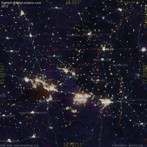
» Earth at Night: Flat Maps 2012, 2016