Lingsugūr night lights from space
Night Light of Lingsugūr (Karnataka) from space (India) Src. Average luminocity for 10x10km area is 17.8946% and for 50x50km: 4.4172%.
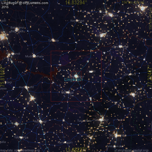
Analysis of Lingsugūr night lights 2016
Square area 10x10 km:
 2.48%
2.48%90-99
3.72%80-89
2.89%70-79
0%60-69
1.45%50-59
1.03%40-49
3.1%30-39
2.27%20-29
3.72%10-19
4.34%0-9
75%Square area 50x50 km:
0.29%90-99
0.55%80-89
0.23%70-79
0.28%60-69
0.66%50-59
0.79%40-49
1.03%30-39
1.26%20-29
1.3%10-19
0.74%0-9
92.87%Clear (daylight) street map image can be seen on geolist.org.
Map coordinates:
16° 49' 58.6" North, 75° 49' 7" East
16° 9' 31.5" North, 76° 31' 18.3" East
15° 28' 56.2" North, 77° 13' 29.5" East
Some cities around Lingsugūr sort by population:
• Sindhnūr
50 km =31.1 mi,  149°
149°
• Ilkal
48.9 km =30.4 mi,  243°
243°
• Shorāpur
47.5 km =29.5 mi,  31°
31°
• Muddebihāl
46.1 km =28.6 mi,  295°
295°
• Tālīkota
41.6 km =25.8 mi,  327°
327°
• Kushtagi
57 km =35.4 mi,  218°
218°
• Mudgal
18.4 km =11.4 mi,  207°
207°
• Hungund
50.6 km =31.4 mi,  257°
257°
1264890 (p: 29,783)
Sources (retrieved 2019-11-25):
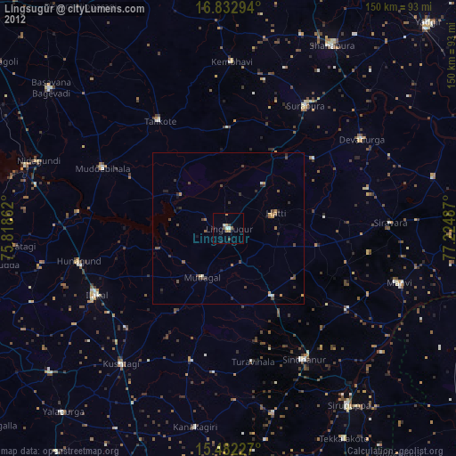
» Earth at Night: Flat Maps 2012, 2016