Sikandarpur night lights from space
Night Light of Sikandarpur (Uttar Pradesh) from space (India) Src. Average luminocity for 10x10km area is 29.2698% and for 50x50km: 19.0171%.
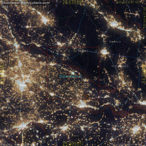
Analysis of Sikandarpur night lights 2016
Square area 10x10 km:
 1.98%
1.98%90-99
2.38%80-89
1.19%70-79
4.56%60-69
3.57%50-59
4.17%40-49
8.53%30-39
7.74%20-29
12.1%10-19
43.06%0-9
10.71%Square area 50x50 km:
0.46%90-99
0.72%80-89
0.67%70-79
1.76%60-69
2.28%50-59
3.54%40-49
5.91%30-39
8.02%20-29
12.01%10-19
22.87%0-9
41.75%Clear (daylight) street map image can be seen on geolist.org.
Map coordinates:
26° 40' 23.8" North, 83° 20' 59.5" East
26° 2' 35.8" North, 84° 3' 10.7" East
25° 24' 35.5" North, 84° 45' 22" East
Some cities around Sikandarpur sort by population:
• Siwān
36.1 km =22.4 mi,  56°
56°
• Rasrā
28.6 km =17.8 mi,  223°
223°
• Lar
19.7 km =12.2 mi,  334°
334°
• Reoti
38.9 km =24.2 mi,  123°
123°
• Bānsdīh
24.2 km =15 mi,  137°
137°
• Maniar
13.5 km =8.4 mi, 118°
• Mairwa
23.7 km =14.7 mi,  27°
27°
• Bilthra
18.6 km =11.6 mi,  300°
300°
1256328 (p: 24,177)
Sources (retrieved 2019-11-25):
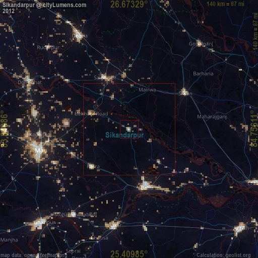
» Earth at Night: Flat Maps 2012, 2016