Shimoga night lights from space
Night Light of Shimoga (Karnataka) from space (India) Src. Average luminocity for 10x10km area is 73.1798% and for 50x50km: 8.7634%.
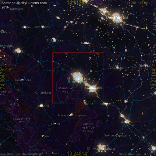
Analysis of Shimoga night lights 2016
Square area 10x10 km:
 17.77%
90-99
33.88%80-89
5.58%70-79
6.61%60-69
5.58%50-59
4.75%40-49
3.31%30-39
5.58%20-29
12.6%10-19
4.34%0-9
0%Square area 50x50 km:
1.06%90-99
2.17%80-89
0.88%70-79
0.68%60-69
0.6%50-59
1.39%40-49
0.96%30-39
1.32%20-29
3.45%10-19
6.48%0-9
81.01%Clear (daylight) street map image can be seen on geolist.org.
Map coordinates:
14° 36' 46.8" North, 74° 51' 53.2" East
13° 55' 53.7" North, 75° 34' 4.5" East
13° 14' 53.3" North, 76° 16' 15.7" East
Some cities around Shimoga sort by population:
• Bhadrāvati
17.4 km =10.8 mi,  121°
121°
• Tarikere
36.3 km =22.6 mi,  132°
132°
• Channagiri
40 km =24.9 mi,  75°
75°
• Honnāli
35.3 km =21.9 mi,  13°
13°
• Nyāmti
24.2 km =15 mi,  2°
2°
• Narasimharājapura
36.2 km =22.5 mi,  189°
189°
• Beltangadi
29.5 km =18.3 mi,  281°
281°
• Kumsi
22.7 km =14.1 mi,  307°
307°
1256515 (p: 319,550)
Sources (retrieved 2019-11-25):
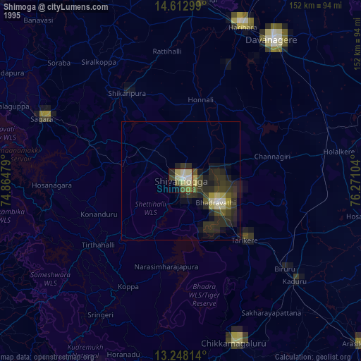
» NASA, Earths city lights 1995
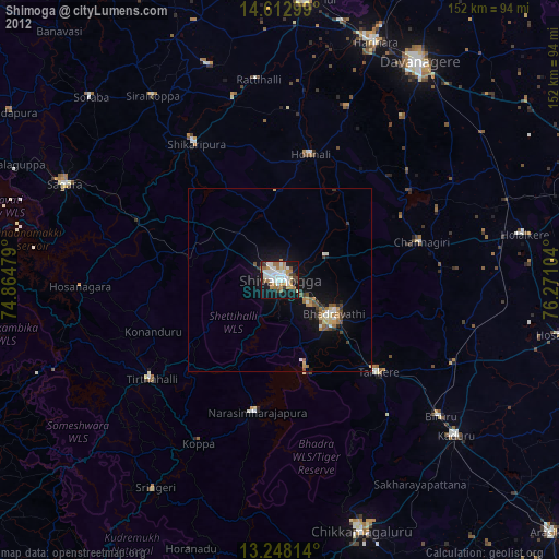
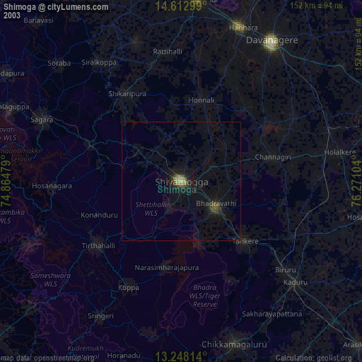
» NASA city lights 2003
» Earth at Night: Flat Maps 2012, 2016