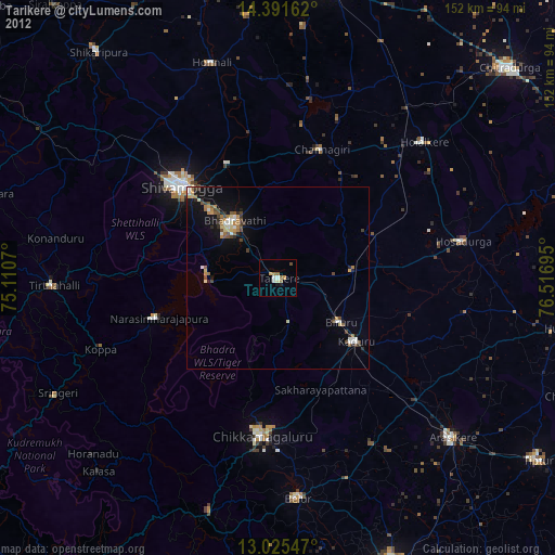
Tarikere night lights from space
Night Light of Tarikere (Karnataka) from space (India) Src. Average luminocity for 10x10km area is 12.4236% and for 50x50km: 7.3297%.
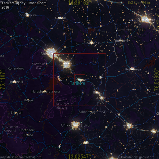
Analysis of Tarikere night lights 2016
Square area 10x10 km:
 1.03%
1.03%90-99
3.1%80-89
2.48%70-79
0%60-69
0.41%50-59
2.48%40-49
2.27%30-39
2.27%20-29
0.83%10-19
1.45%0-9
83.68%Square area 50x50 km:
0.65%90-99
1.46%80-89
0.91%70-79
0.6%60-69
0.55%50-59
1.2%40-49
1%30-39
1.49%20-29
2.69%10-19
4.78%0-9
84.66%Clear (daylight) street map image can be seen on geolist.org.
Map coordinates:
14° 23' 29.8" North, 75° 6' 38.5" East
13° 42' 34.3" North, 75° 48' 49.8" East
13° 1' 31.7" North, 76° 31' 1" East
Some cities around Tarikere sort by population:
• Shimoga
36.3 km =22.6 mi,  312°
312°
• Bhadrāvati
19.4 km =12.1 mi,  322°
322°
• Chikmagalūr
43.3 km =26.9 mi,  185°
185°
• Kadūr
27.6 km =17.1 mi,  129°
129°
• Birūr
21.1 km =13.1 mi, 126°
• Channagiri
37 km =23 mi,  19°
19°
• Ajjampur
20.9 km =13 mi,  84°
84°
• Narasimharājapura
34.4 km =21.4 mi,  251°
251°
1254880 (p: 37,848)
Sources (retrieved 2019-11-25):
» Earth at Night: Flat Maps 2012, 2016