Channagiri night lights from space
Night Light of Channagiri (Karnataka) from space (India) Src. Average luminocity for 10x10km area is 11.4978% and for 50x50km: 3.8316%.

Analysis of Channagiri night lights 2016
Square area 10x10 km:
 0%
0%90-99
1.08%80-89
3.25%70-79
0%60-69
2.16%50-59
1.3%40-49
3.46%30-39
2.16%20-29
3.03%10-19
0.87%0-9
82.68%Square area 50x50 km:
0.23%90-99
0.48%80-89
0.42%70-79
0.33%60-69
0.38%50-59
0.83%40-49
0.89%30-39
0.84%20-29
1.46%10-19
1.74%0-9
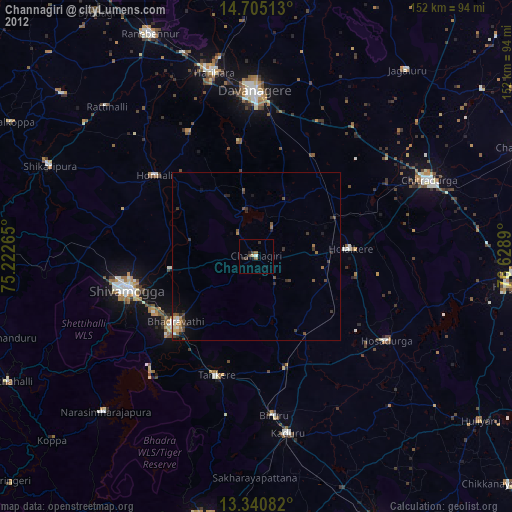
92.39%Clear (daylight) street map image can be seen on geolist.org.
Map coordinates:
14° 42' 18.5" North, 75° 13' 21.5" East
14° 1' 26.4" North, 75° 55' 32.8" East
13° 20' 27" North, 76° 37' 44" East
Some cities around Channagiri sort by population:
• Shimoga
40 km =24.9 mi,  255°
255°
• Bhadrāvati
30.8 km =19.1 mi,  230°
230°
• Tarikere
37 km =23 mi,  199°
199°
• Honnāli
38.6 km =24 mi,  308°
308°
• Holalkere
28 km =17.4 mi,  85°
85°
• Ajjampur
34.1 km =21.2 mi,  165°
165°
• Nyāmti
40.1 km =24.9 mi,  290°
290°
• Māyakonda
34 km =21.1 mi,  29°
29°
1274642 (p: 20,376)
Sources (retrieved 2019-11-25):
» Earth at Night: Flat Maps 2012, 2016