Honnāli night lights from space
Night Light of Honnāli (Karnataka) from space (India) Src. Average luminocity for 10x10km area is 10.0606% and for 50x50km: 3.16%.
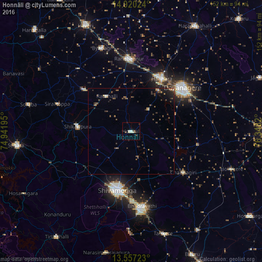
Analysis of Honnāli night lights 2016
Square area 10x10 km:
 0%
0%90-99
5.19%80-89
0.87%70-79
0%60-69
0%50-59
0.87%40-49
2.6%30-39
1.3%20-29
0.43%10-19
0.87%0-9
87.88%Square area 50x50 km:
0.02%90-99
0.38%80-89
0.16%70-79
0.3%60-69
0.33%50-59
0.82%40-49
0.93%30-39
0.67%20-29
1.12%10-19
1.43%0-9
93.85%Clear (daylight) street map image can be seen on geolist.org.
Map coordinates:
14° 55' 12.9" North, 74° 56' 31" East
14° 14' 23.1" North, 75° 38' 42.3" East
13° 33' 26" North, 76° 20' 53.5" East
Some cities around Honnāli sort by population:
• Davangere
39.5 km =24.5 mi,  50°
50°
• Shimoga
35.3 km =21.9 mi,  193°
193°
• Harihar
35 km =21.7 mi,  29°
29°
• Shikārpur
31.3 km =19.4 mi,  276°
276°
• Channagiri
38.6 km =24 mi,  128°
128°
• Hirekerūr
36 km =22.4 mi,  311°
311°
• Nyāmti
12.5 km =7.8 mi,  216°
216°
• Kumsi
33.5 km =20.8 mi,  232°
232°
1269970 (p: 16,753)
Sources (retrieved 2019-11-25):
» Earth at Night: Flat Maps 2012, 2016