Shillong night lights from space
Night Light of Shillong (Meghalaya) from space (India) Src. Average luminocity for 10x10km area is 65.8163% and for 50x50km: 6.5519%.
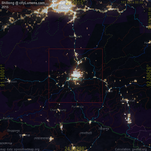
Analysis of Shillong night lights 2016
Square area 10x10 km:
 23.3%
23.3%90-99
18.18%80-89
3.98%70-79
3.41%60-69
5.87%50-59
5.49%40-49
9.09%30-39
9.47%20-29
16.48%10-19
4.73%0-9
0%Square area 50x50 km:
1.09%90-99
1.04%80-89
0.43%70-79
0.42%60-69
0.55%50-59
0.69%40-49
1.53%30-39
1.44%20-29
2.34%10-19
4.92%0-9
85.55%Clear (daylight) street map image can be seen on geolist.org.
Map coordinates:
26° 12' 5.4" North, 91° 10' 48" East
25° 34' 8.1" North, 91° 52' 59.3" East
24° 55' 58.7" North, 92° 35' 10.5" East
Some cities around Shillong sort by population:
• Guwahati
69.8 km =43.4 mi,  348°
348°
• Chhātak, BD
62.8 km =39 mi,  200°
200°
• Nongstoin
62.3 km =38.7 mi,  264°
264°
• North Guwāhāti
71.8 km =44.6 mi, 346°
• Nongpoh
37.1 km =23.1 mi,  359°
359°
• Mairang
24.8 km =15.4 mi,  268°
268°
• Cherrapunji
35.2 km =21.9 mi,  212°
212°
• Dispur
63.6 km =39.5 mi, 352°
1256523 (p: 132,842)
Sources (retrieved 2019-11-25):
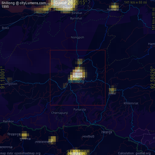
» NASA, Earths city lights 1995
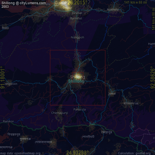
» NASA city lights 2003
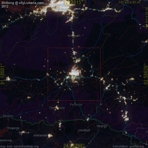
» Earth at Night: Flat Maps 2012, 2016