Chhātak night lights from space
Night Light of Chhātak (Sylhet) from space (Bangladesh) Src. Average luminocity for 10x10km area is 10.5511% and for 50x50km: 4.116%.
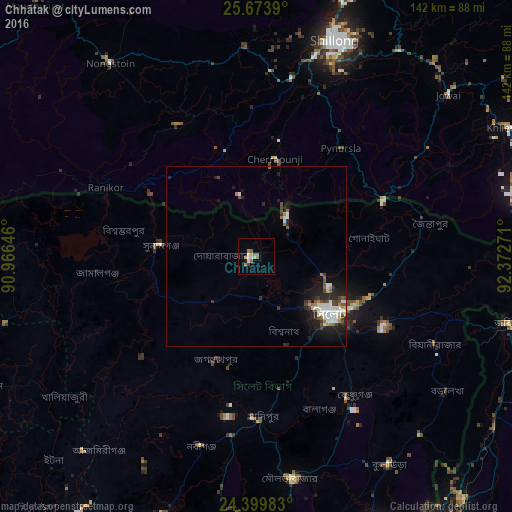
Analysis of Chhātak night lights 2016
Square area 10x10 km:
 1.14%
1.14%90-99
1.89%80-89
1.52%70-79
0.95%60-69
2.65%50-59
2.46%40-49
0%30-39
0.76%20-29
0%10-19
0.76%0-9
87.88%Square area 50x50 km:
0.42%90-99
1.27%80-89
0.19%70-79
0.2%60-69
0.59%50-59
0.49%40-49
0.6%30-39
0.49%20-29
1.28%10-19
2.46%0-9
92.01%Clear (daylight) street map image can be seen on geolist.org.
Map coordinates:
25° 40' 26" North, 90° 57' 59.3" East
25° 2' 18.7" North, 91° 40' 10.5" East
24° 23' 59.4" North, 92° 22' 21.8" East
Some cities around Chhātak sort by population:
• Sylhet
25.6 km =15.9 mi,  127°
127°
• Shillong, IN
62.8 km =39 mi,  20°
20°
• Maulavi Bāzār
62 km =38.5 mi,  170°
170°
• Karīmganj, IN
71.7 km =44.6 mi,  105°
105°
• Baniachang
65.8 km =40.9 mi,  208°
208°
• Nongstoin, IN
67 km =41.6 mi,  322°
322°
• Mairang, IN
58.3 km =36.2 mi,  356°
356°
• Cherrapunji, IN
29.3 km =18.2 mi,  5°
5°
1185254 (p: 39,218)
Sources (retrieved 2019-11-25):
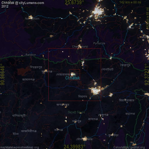
» Earth at Night: Flat Maps 2012, 2016