Nagīna night lights from space
Night Light of Nagīna (Uttar Pradesh) from space (India) Src. Average luminocity for 10x10km area is 28.8807% and for 50x50km: 18.131%.
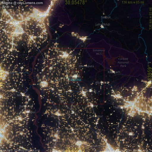
Analysis of Nagīna night lights 2016
Square area 10x10 km:
 2.08%
2.08%90-99
3.79%80-89
3.98%70-79
1.33%60-69
2.46%50-59
2.65%40-49
7.39%30-39
9.47%20-29
11.55%10-19
33.33%0-9
21.97%Square area 50x50 km:
0.54%90-99
1.5%80-89
1.16%70-79
1.31%60-69
2.58%50-59
3.47%40-49
5.46%30-39
5.18%20-29
8.09%10-19
25.19%0-9
45.53%Clear (daylight) street map image can be seen on geolist.org.
Map coordinates:
30° 3' 17.2" North, 77° 44' 0" East
29° 26' 39.6" North, 78° 26' 11.3" East
28° 49' 48.7" North, 79° 8' 22.5" East
Some cities around Nagīna sort by population:
• Najībābād
20.7 km =12.9 mi,  334°
334°
• Kīratpur
23.3 km =14.5 mi,  287°
287°
• Sherkot
18.7 km =11.6 mi,  134°
134°
• Dhāmpur
16.7 km =10.4 mi,  154°
154°
• Nihtaur
14.2 km =8.8 mi,  199°
199°
• Afzalgarh
23.7 km =14.7 mi,  103°
103°
• Jhālu
23.7 km =14.7 mi,  239°
239°
• Haldaur
22.6 km =14 mi,  220°
220°
1262200 (p: 76,593)
Sources (retrieved 2019-11-25):
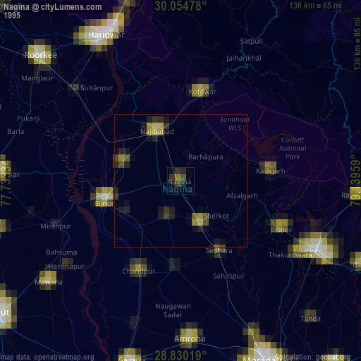
» NASA, Earths city lights 1995
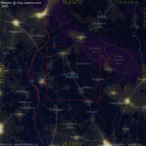
» NASA city lights 2003
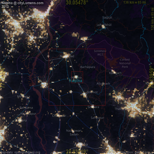
» Earth at Night: Flat Maps 2012, 2016