Nihtaur night lights from space
Night Light of Nihtaur (Uttar Pradesh) from space (India) Src. Average luminocity for 10x10km area is 21.1402% and for 50x50km: 20.7759%.
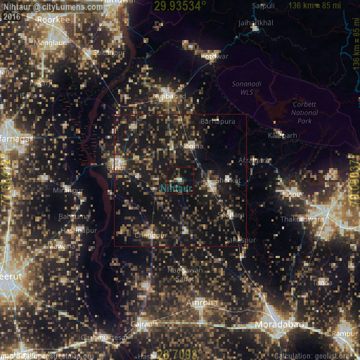
Analysis of Nihtaur night lights 2016
Square area 10x10 km:
 1.14%
1.14%90-99
1.7%80-89
0.19%70-79
1.52%60-69
1.33%50-59
1.14%40-49
9.09%30-39
5.68%20-29
12.69%10-19
33.71%0-9
31.82%Square area 50x50 km:
0.4%90-99
1.57%80-89
1.43%70-79
1.74%60-69
2.82%50-59
3.36%40-49
6.16%30-39
6.27%20-29
9%10-19
30.23%0-9
37.02%Clear (daylight) street map image can be seen on geolist.org.
Map coordinates:
29° 56' 7.2" North, 77° 41' 2.8" East
29° 19' 27" North, 78° 23' 14.1" East
28° 42' 33.5" North, 79° 5' 25.3" East
Some cities around Nihtaur sort by population:
• Nagīna
14.2 km =8.8 mi,  19°
19°
• Sherkot
18.1 km =11.2 mi,  88°
88°
• Dhāmpur
12.1 km =7.5 mi,  98°
98°
• Seohāra
23.3 km =14.5 mi,  123°
123°
• Nūrpur
19.5 km =12.1 mi,  173°
173°
• Jhālu
15.7 km =9.8 mi,  274°
274°
• Haldaur
10.7 km =6.6 mi,  249°
249°
• Tājpur
20.3 km =12.6 mi,  152°
152°
1261415 (p: 48,389)
Sources (retrieved 2019-11-25):
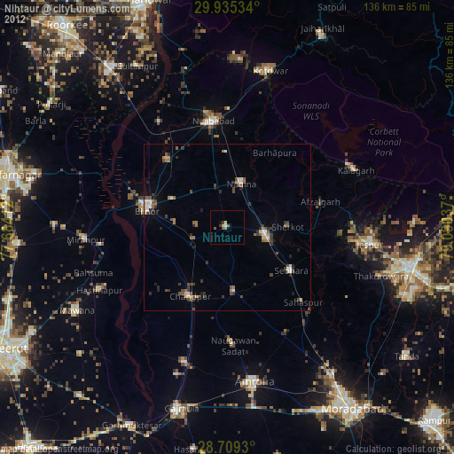
» Earth at Night: Flat Maps 2012, 2016