Shāhpura night lights from space
Night Light of Shāhpura (Rajasthan) from space (India) Src. Average luminocity for 10x10km area is 7.9545% and for 50x50km: 2.1252%.
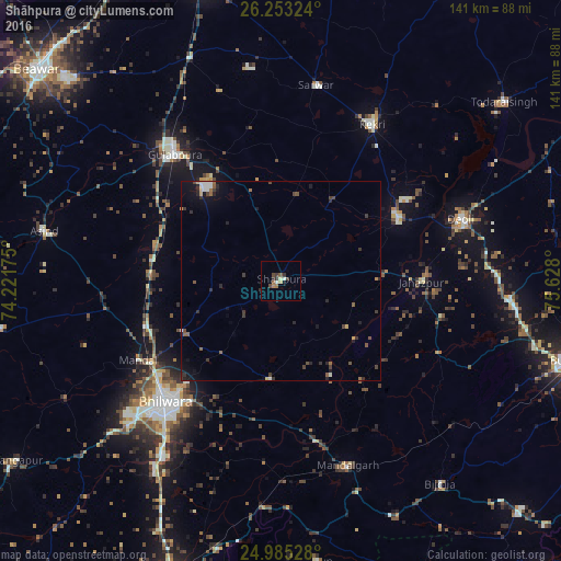
Analysis of Shāhpura night lights 2016
Square area 10x10 km:
 0.76%
0.76%90-99
1.33%80-89
0.19%70-79
0.76%60-69
1.52%50-59
1.52%40-49
1.7%30-39
2.46%20-29
1.52%10-19
0%0-9
88.26%Square area 50x50 km:
0.15%90-99
0.32%80-89
0.07%70-79
0.18%60-69
0.21%50-59
0.46%40-49
0.45%30-39
0.58%20-29
0.72%10-19
0.99%0-9
95.88%Clear (daylight) street map image can be seen on geolist.org.
Map coordinates:
26° 15' 11.7" North, 74° 13' 18.3" East
25° 37' 15.4" North, 74° 55' 29.5" East
24° 59' 7" North, 75° 37' 40.8" East
Some cities around Shāhpura sort by population:
• Bhīlwāra
41.7 km =25.9 mi,  223°
223°
• Kekri
45 km =28 mi,  30°
30°
• Gulābpura
41.2 km =25.6 mi,  319°
319°
• Māndal
40.8 km =25.4 mi,  240°
240°
• Māndalgarh
49.7 km =30.9 mi,  162°
162°
• Deoli
48 km =29.8 mi,  71°
71°
• Jahāzpur
35.2 km =21.9 mi,  90°
90°
• Sarwār
49.9 km =31 mi,  9°
9°
1256706 (p: 29,259)
Sources (retrieved 2019-11-25):
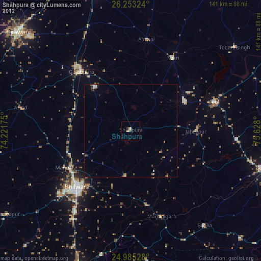
» Earth at Night: Flat Maps 2012, 2016